I'm updagrading my application from js API version 4.5 to version 4.11.
In a tool of the aplication I draw a box on the map and the make a queryto get the features that intersect that box. Then I get those features and add them to a GraphicsLayer.
My problem is that in the APi version 4.11 the graphic is a little misplaced, it's a very little distortion but it affects others functions of the application. It's only noticiable when the scale is very close.
I checked the server response from the QueryTask and they are the same for both versions of the API.
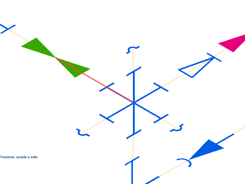
See the example below, first I select a line on the API version 4.5 and the result is that:
Now I select the same feature using API version 4.11 and the result is that:
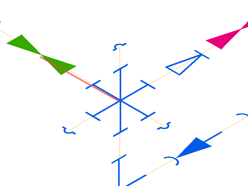
The red line is my GraphicsLayer and in the API 4.11 is a little below that where it should be.
Thanks for any help.

