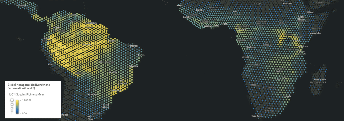
These global hexagons contain 82 summary statistics to help identify high biodiversity, find threatened species, investigate land use characteristics and more. Using the Global Hexagons for Biodiversity and Conservation means that this work can be done in minutes rather than days. We are continuing to support this process and now have an improved version of the Global Hexagons for Biodiversity and Conservation.
To learn more, visit this short article.
Les membres connectés peuvent publier, suivre les mises à jour, et plus encore. Nouveau ici ? Inscrivez-vous gratuitement.
Find useful guides, FAQs, and documents to help you navigate and make the most of Esri Community.