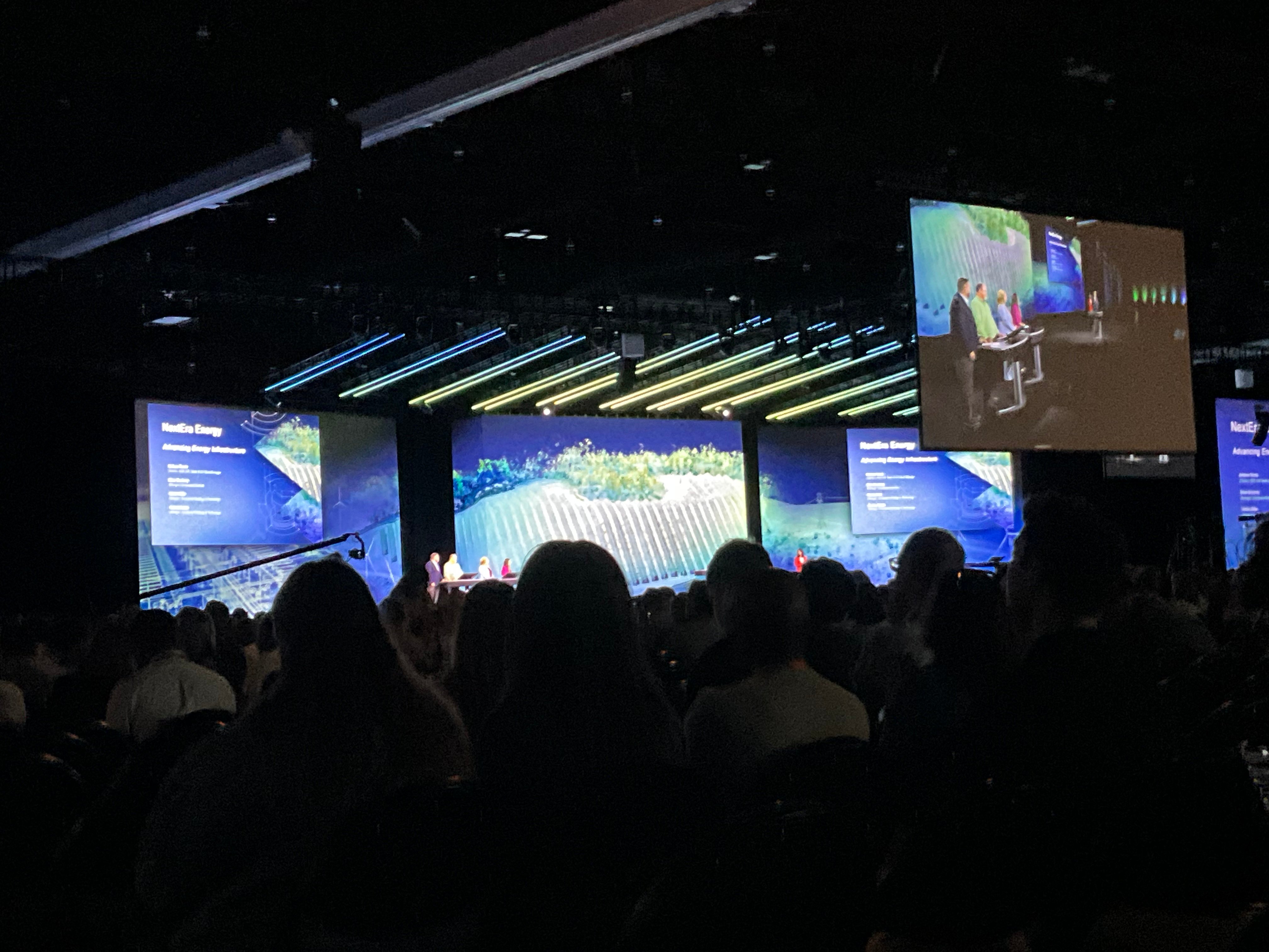
Can anyone tell me how the backgrounds shown during this year’s Plenary Session at the Esri User Conference were generated? They look like LIDAR or other TIN data used to generate almost a “video game” aesthetic. I would love to generate something similar for the City of Spokane’s use.
Thanks!
Hi! I worked on the team that designed these backgrounds and can try to answer this.
We used a couple of different techniques to create these backgrounds, depending on the data we had available for each location we were trying to visualize. In general the ingredients for each were:
We prepared the data in ArcGIS Pro, then exported the rasters as .tif files and converted the lidar data to a PLY file (a standard filetype for 3D data). I brought all the elements into Blender (an open source 3D modelling program) to compose the final scene. I used the imagery and DEM (or mesh) to create a "base" for the scene and and aligned the Lidar point data on top of it. We exported the final scene in a few separate layers so we could dial in the final look in Photoshop.
For a couple of the scenes we didn't have lidar data available so I used the procedural modelling tools in Blender to generate a point cloud using the DEM that simulated the visual appearance of lidar data.
One effect that really gives the kind of "video game" look is a depth of field effect that blurs objects close to and far away from the camera in the scene. I did this effect in Blender, but it's totally possible to accomplish the same effect in ArcGIS Pro using the camera settings under the "view" tab.
The other trick I found is that modulating the brightness of the Lidar points based on intensity adds a lot of visual interest to the scene (though it can make things like elevation and point class less readable)
t
Wow, I admit that’s more involved than I expected, but well done! They looked really cool. I hadn’t thought of simulating tilt-shift in a scene like that. Nice job!
Les membres connectés peuvent publier, suivre les mises à jour, et plus encore. Nouveau ici ? Inscrivez-vous gratuitement.
Find useful guides, FAQs, and documents to help you navigate and make the most of Esri Community.