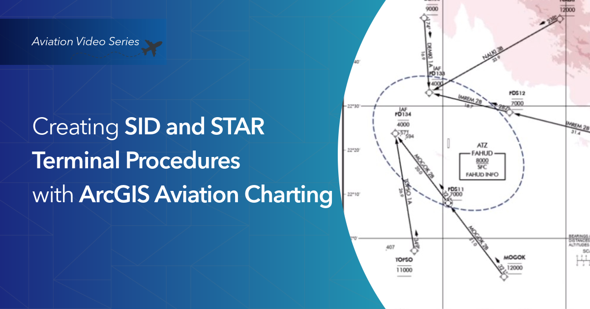
See how SID and STAR charts are produced in ArcGIS Pro using the ArcGIS Aviation Charting extension.This video walks through a data‑driven charting workflow that supports efficient production, consistent styling, and simple updates as procedures change.
Watch the short video here
Les membres connectés peuvent publier, suivre les mises à jour, et plus encore. Nouveau ici ? Inscrivez-vous gratuitement.
Find useful guides, FAQs, and documents to help you navigate and make the most of Esri Community.