Hi everyone,
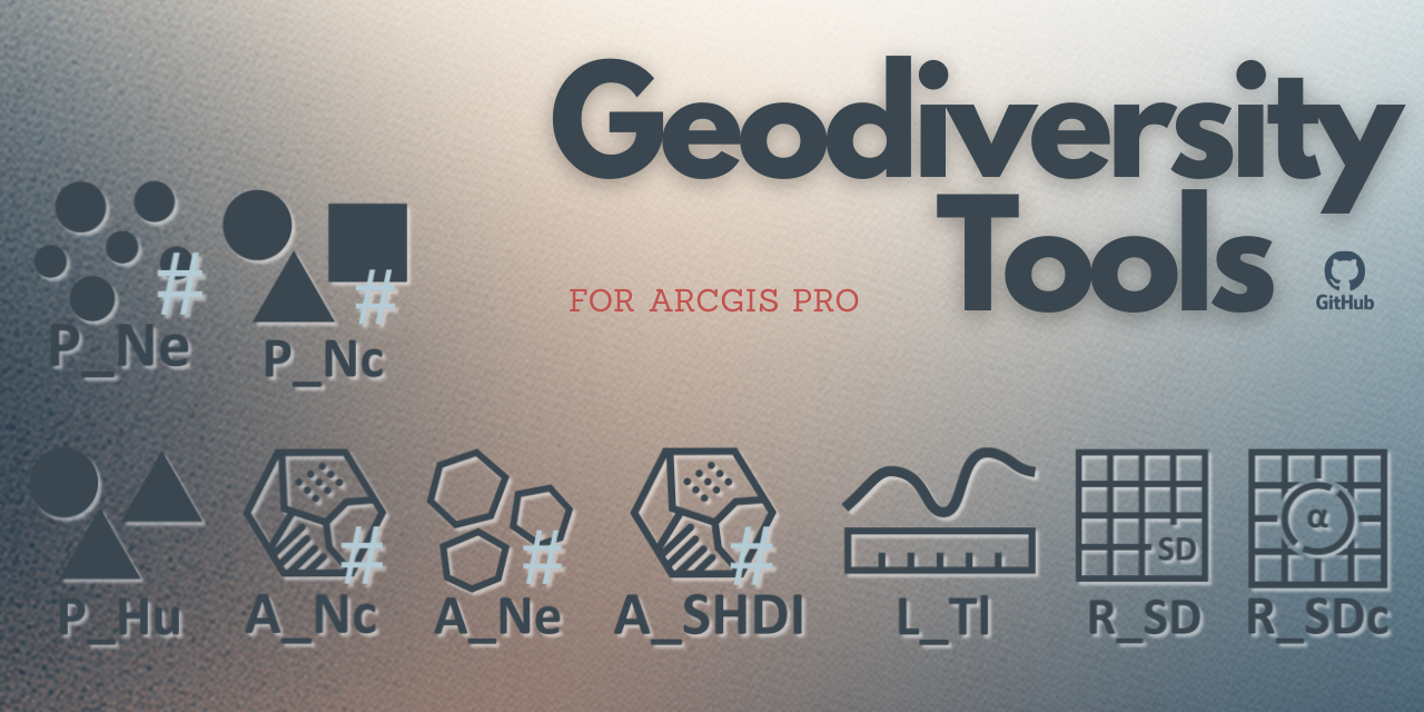
I’d like to share Geodiversity Tools, a custom geoprocessing toolbox for ArcGIS Pro designed to calculate partial criteria used in landscape geodiversity assessment.
The tools are intended for landscape analysis, geomorphometry, environmental planning, and scientific research, and are implemented as a reusable and reproducible ArcGIS Pro workflow.
🔧What’s included
The repository contains:
a custom ArcGIS Pro Toolbox (.atbx)
a collection of Python script tools (.py)
documentation for installation and usage
prepared test data and cartographic symbology
All tools are fully integrated with the ArcGIS Pro GUI and compatible with ModelBuilder.
📐Supported analyses
Vector-based landscape metrics
diversity of polygonal (A) features based on:
number of elements (A_Ne)
number of categories (A_Nc)
Shannon–Weaver diversity index (A_SHDI)
diversity of linear (L) features based on total length (L_Tl)
diversity of point (P) features based on:
Raster-based landscape metrics
The tools support grid-based analyses, raster–polygon overlays, and integrated output standardization, ensuring comparability of geodiversity metrics across grids and study areas.
🧠 Key features
Easy-to-use ArcGIS Pro interface
Clean Python implementation using arcpy and Spatial Analyst
Support for discrete and continuous regionalized variables
Designed for reproducible scientific workflows
Support for file geodatabases (.gdb)
(shapefiles are intentionally not supported)
Requirements
📄Documentation & test data
Installation instructions: Docs/installation.md
Methodology and index definitions: Docs/GeodiversityTools.pdf
Test datasets: TestData/TestData.md
🔗Repository
👉https://github.com/tomaszbartus/GeodiversityTools
Feedback, suggestions, and use cases are very welcome.
Best regards,
Tomasz Bartuś
Author — Geodiversity Tools
Version: 0.2.0

