Hi.
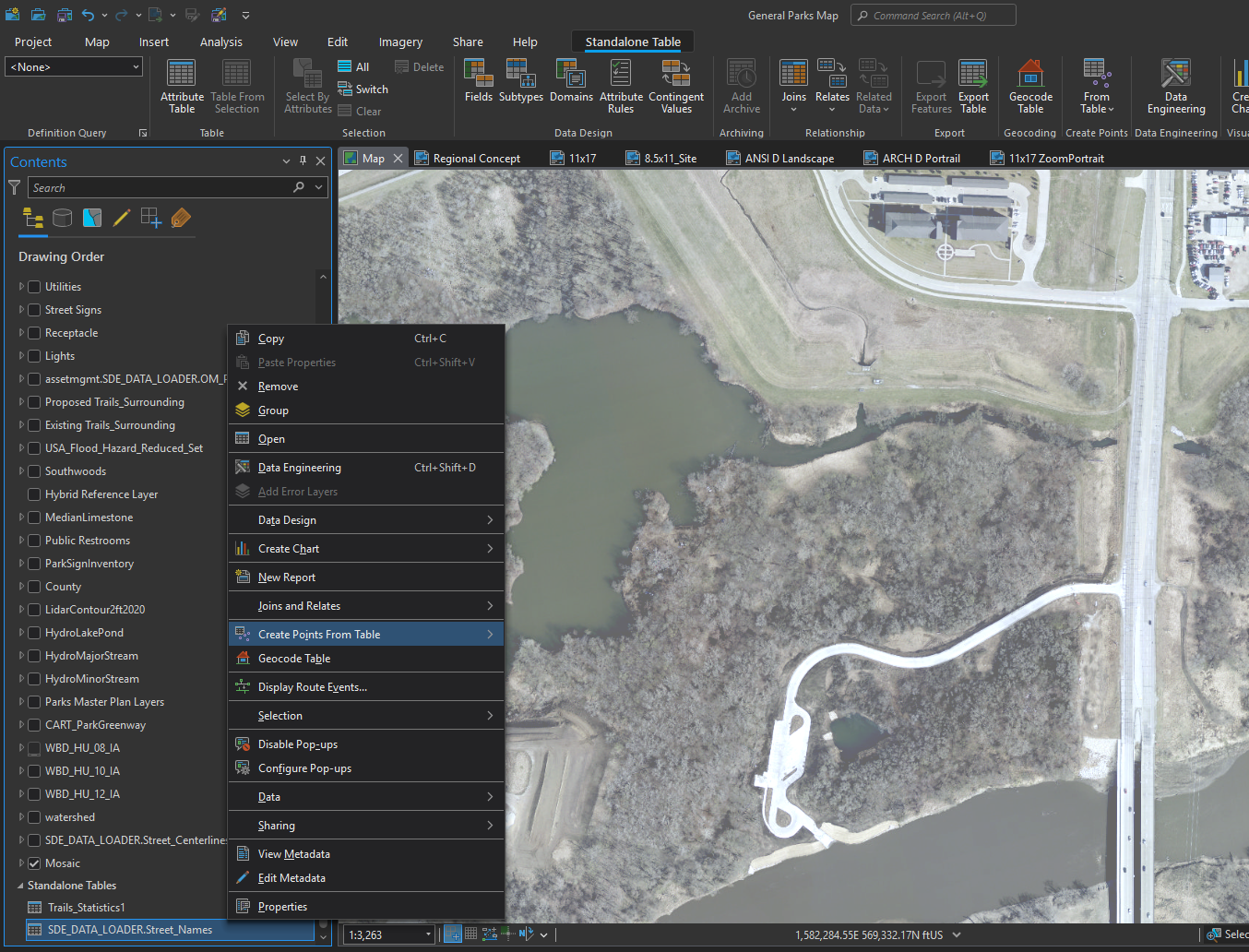
I am using ArcGIS Pro 3.3.6 and the municipality I work for has an Enterprise Geodatabase Table for every street name in the City. I would like to have these street names labeled and displayed on my map and I just don't understand how to do that. It would be a bonus if I could change the font and size and stuff once i get it displayed.
It seems so easy, and i've researched a few different areas and watched a couple of videos online, but I just cannot figure it out.
I would greatly appreciate any help/insight as how I can achieve this.