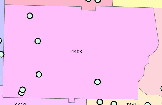
the underlying county map is a polygon with yield data. i want to associate the yield within the county boundary to the 4 points. the 4 points will have the same yield value. extract to point seems not to work because it's not a raster image?? is that correct? how would i do this.....?
So I believe a Spatial Join - Spatial Join (Analysis)—ArcGIS Pro | Documentation - would accomplish associating the polygon attribute table to the point attribute table.
Les membres connectés peuvent publier, suivre les mises à jour, et plus encore. Nouveau ici ? Inscrivez-vous gratuitement.
Find useful guides, FAQs, and documents to help you navigate and make the most of Esri Community.