Hi, I am bringing this up again, seeing if anyone else has any ideas on a previous thread I had:
I had a question using the Draw widget measurements.
I have a web map in the my local stateplane projection. When using the Draw widget tool tips and constraits, the "total length" (or total area if drawing polygon) does not match the label that is placed when Show area measurement is checked on.
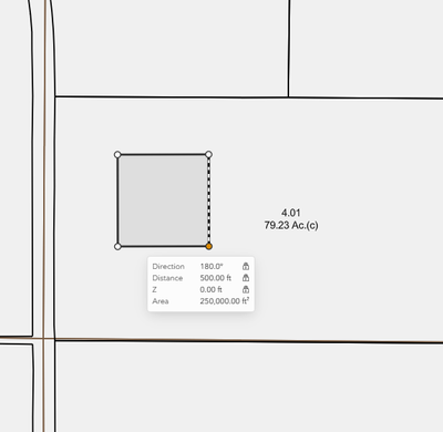
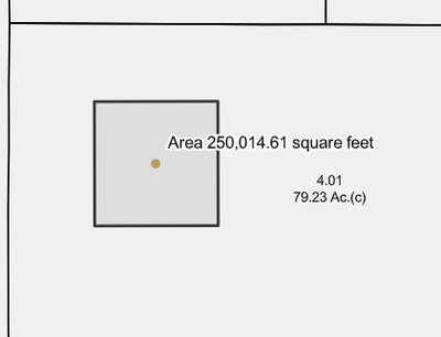
Why don't these numbers match?

