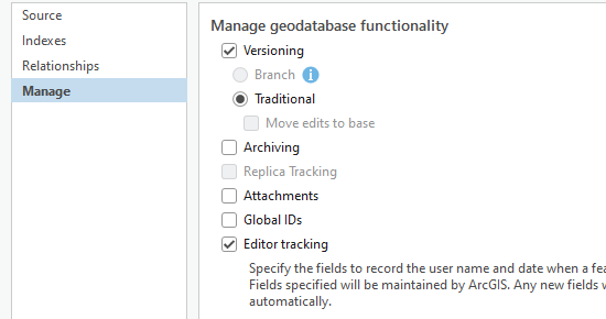
I have a fair number of feature classes in an enterprise geodatabase where I'd like to programmatically walk through each one and register it as versioned (traditional). As we're not using feature datasets, is the only way to do this manually or are there any ways to do it using arcpy for example?