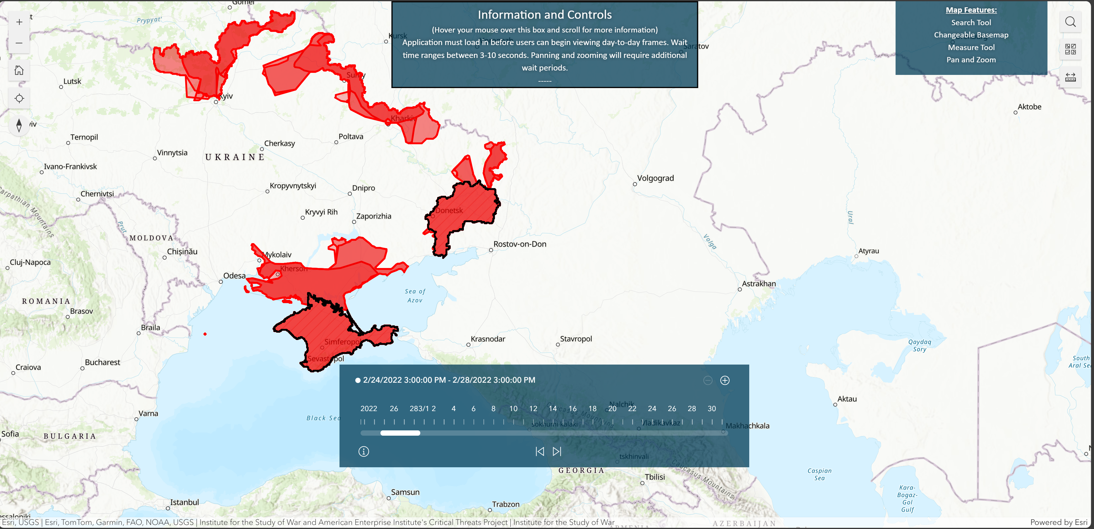
I am a user of the publicly available ArcGIS map https://experience.arcgis.com/experience/c5eeec0f7ce5469ab6fc70176327fb0e/
My task is to determine the area of red/blue shared complex polygons depicted on the map; an example is shown below. So far, I have been using the map's ruler icon to estimate the area (in sq km/miles). Is there a quicker way to do it? I would not believe that the map's developers, if asked, would share the underlying dataset. I would appreciate your insights very much!
Thank you for sharing your insight. I have asked the creators. So far, they have been silent unfortunately.
Hi @Alexander_Valchyshen
If this is all you are using within this experience builder app then that is all that is available, the underlying data has not been shared.
An easier way would have the creator of the item enable and configure pop ups for the polygons, but you will need to ask the creator of the item.
Les membres connectés peuvent publier, suivre les mises à jour, et plus encore. Nouveau ici ? Inscrivez-vous gratuitement.
Find useful guides, FAQs, and documents to help you navigate and make the most of Esri Community.