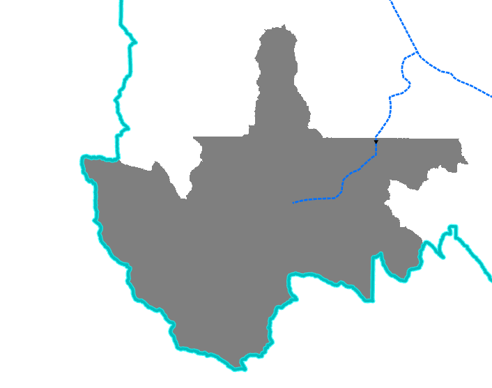
Looking for a way to determine the flow time to a Tile or Branch as a raster analysis. I'm guessing it will involve flow accumulation and flow direction rasters. I'm looking to classify a watershed based on how long it will take for the water to go from any given area to the main drain tile line. Are there any tools from Spatial Analyst that can accomplish this.
Les membres connectés peuvent publier, suivre les mises à jour, et plus encore. Nouveau ici ? Inscrivez-vous gratuitement.
Find useful guides, FAQs, and documents to help you navigate and make the most of Esri Community.