Hi,
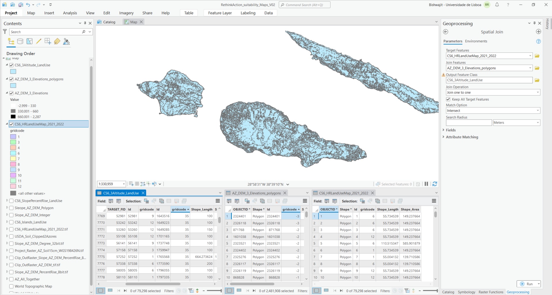
I have been using ArcGIS Pro 3.2.2. I have two vector files (polygons). One of them contain information of 12 land use classes and another have information about different elevation points.
I have been trying with the Spatial Join tool to find out the land uses within the range of different elevation points (e.g. less than or equal to 330m, >330 to <-660m and >660m). It gives me output attribute table (CS6_3Altitude_LandUse) for all the different elevation points. But I want the presence of the different land uses within the specified elevation range.
How can I get the attribute table as requested and what specific tool to be used for this?
NOTE: I used "Join one to One" as Join Operation and "Intersect" as Match operation. Elevation points are extracted from the DEM.
Thanks in advance.
Bishwajit