Hi all,
I'm quite new to Arcgis PRO and it's many functions. I want to create a soil map of California and the USDA provides plenty of high quality data to accomplish this task. Today I've learned about toolboxes and the USDA provides a toolbox to generate custom soil maps, based on attributes (i.e.).
The problem is the following:
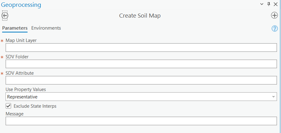
I'm unable to browse trough my folders, in order to select map types. I know the toolboxes are written in Python. Is there a way to fix this problem? Or does anyone have experience with these toolboxes created by the USDA?
Many thanks!



