I'm looking for any advice that people might have!
I'm doing tech support for someone currently working in ArcGIS Urban and we are struggling a little bit on trying to figure out how to actually get data into the program.
The demo examples, training examples, and a lot of the technical paperwork (and online documents) don't really much information on the type/formats of data that can be used in the program.
So far, we've figured out that you can add Web Scenes and such - we've tried importing parcel data, but it will always fail in the upload process (without a lot of direction in why it failed)
Does anyone have experience with integrating their own custom data into Urban? What I'm trying to figure out how to do is to take a web scene of zoning data, and actually connect it to the building footprints like the demo examples. Here is a screenshot of what I currently have:
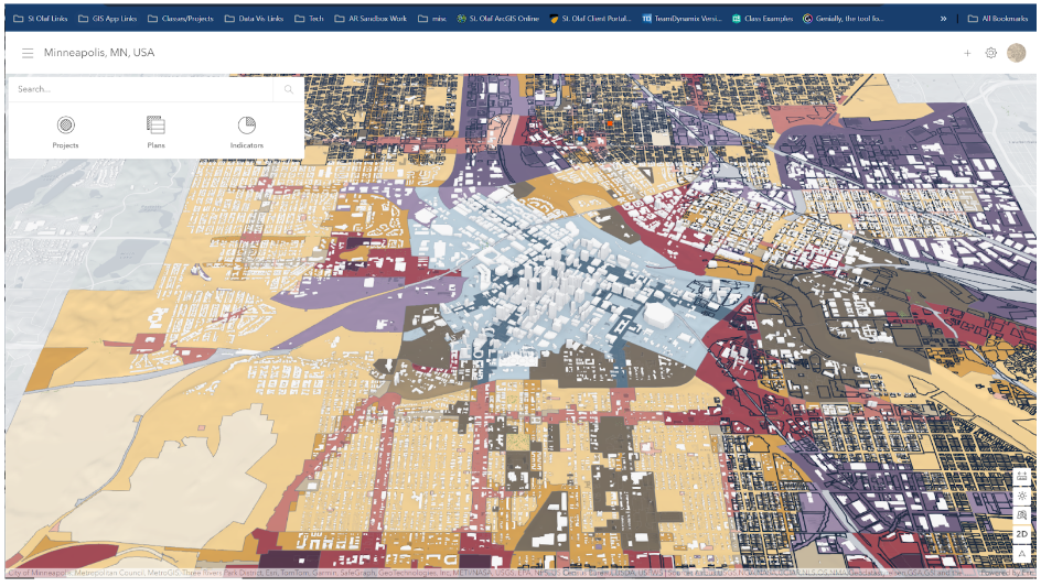
Going through tutorials - there isn't really a "step by step" demo of how to add your own data. So if anyone has recommendations of additional information, I would take anything!
Thank you!


