Hello,
I have two Image Service Layers for County-wide aerial imagery and I want to set them with some transparency to allow my data to show up a little better on a 'lighter' background. For whatever reason, the two county data sets overlap about 3/4 mile and so when I set both layers at a particular transparency, this overlapping layer shows up darker (which makes sense), making my map look a bit strange with a 'darker ribbon' appearing down the center:
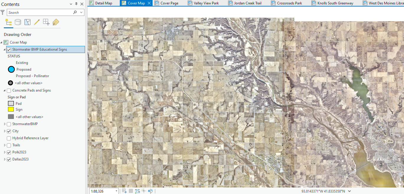
Are there some masking or blending options that might make this overlap go away, or better yet is there a way to make one or the other aerial layers have a 'white' background that doesn't go transparent so when I put it on the other one you can't see the map beneath it?
Many thanks in advance!

