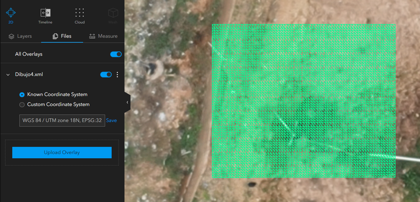
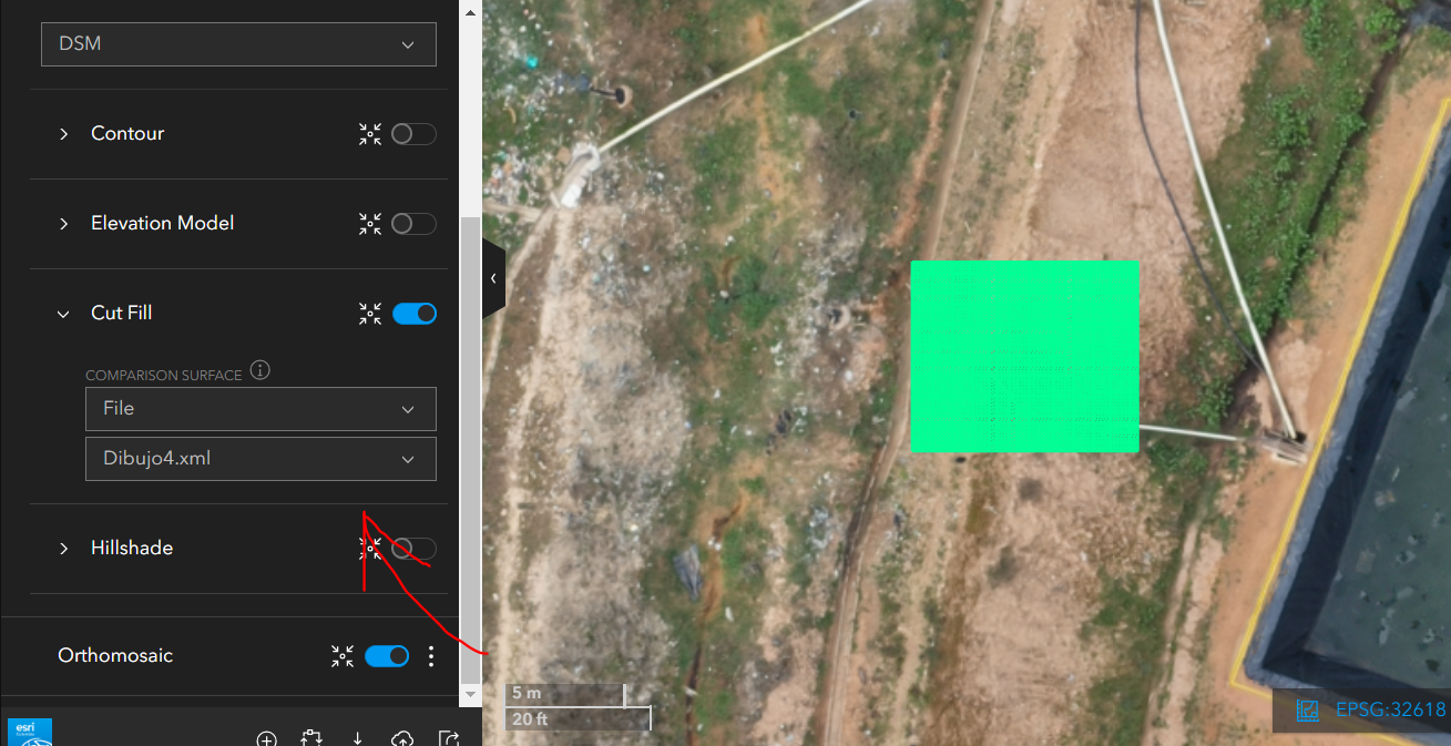
Bonjour communauté Imagery and Remote Sensing, j'ai une question concernant Site Scan. J'essaie de superposer une surface chargée au format LandXML avec les produits d'élévation générés dans Site Scan comme indiqué dans la documentation de l'outil Cut/Fill (https://support.esri.com/en-us/knowledge-base/how-to-use-cutfill-measurements-in-site-scan-manager-fo-000023065#:~:text=All%20elevated%20areas%20above%20the,including%20construction%20and%20scientific%20analysis.), cependant lorsque je charge la surface, elle apparaît comme suit :<\/SPAN><\/P><\/span><\/P>mais lorsque je la sélectionne comme surface de comparaison, cela ne me permet pas de faire l'intersection en utilisant l'outil Cut/Fill :<\/P><\/span><\/P>Existe-t-il un flux de travail ou pouvez-vous me dire quelles caractéristiques la surface au format LandXML doit avoir pour effectuer l'intersection ?<\/P> <\/P>
Hi @cdanielvarons, We've had occasional reports of challenges with the Cut/Fill functionality in Site Scan when comparing to a LandXML. Please try again, it should be resolved now. Let us know if you encounter this again, preferably on the Site Scan Questions board.
Les membres connectés peuvent publier, suivre les mises à jour, et plus encore. Nouveau ici ? Inscrivez-vous gratuitement.
Find useful guides, FAQs, and documents to help you navigate and make the most of Esri Community.