I recently posted about getting help with code that returned a Y/N value based on if two polygon features intersected. The code worked great, but the two layers don't share perfectly aligned boundaries. One has a more "jagged" boundary that is visible when zoomed, causing it to flag as an intersection when it is not supposed to be. Any advice on a workaround? Would the "within" or "contains" function be more useful? Is there a way to buffer the boundary so that the slight mis-alignment doesn't produce an incorrect result?
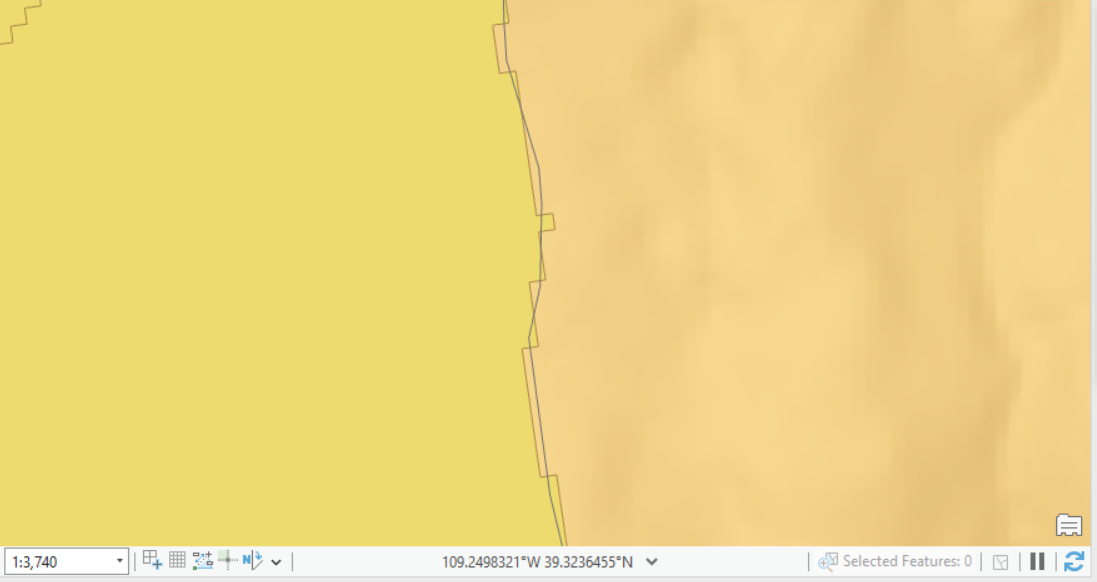
The larger polygons in orange are watersheds, and the smaller green polygons are impaired catchments. If there is even a single impaired catchment within a given watershed, I want to populate the field "is impaired" with "Y", or "N".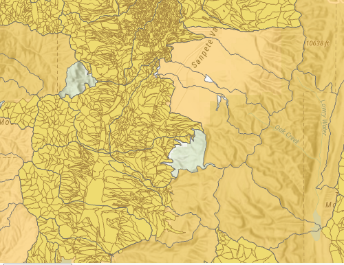
My current code:
var ImpCatchments = Intersects(Featuresetbyname($datastore, "attains_au_catchments_Impaired"), $feature)
var cnt = count(ImpCatchments)
IIF(cnt > 0, "Y", "N");
Any help would be very much appreciated!


