I created a survey from a polygon hosted feature service in order to generate feature reports to display a map of assets contained within the polygon. There is no geopoint question in the survey since the polygons are either drawn in Field Maps or a Web Application.
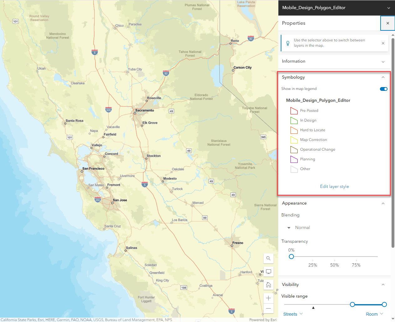
The problem I am noticing with the feature report is that even though I set the symbology in the web map to have no fill in the polygon, the polygon still prints out with blue fill. This makes it difficult to see the other map contents inside the polygon.
Is there a way to turn off the default blue fill in the polygon and simply print with the symbology set in the web map?
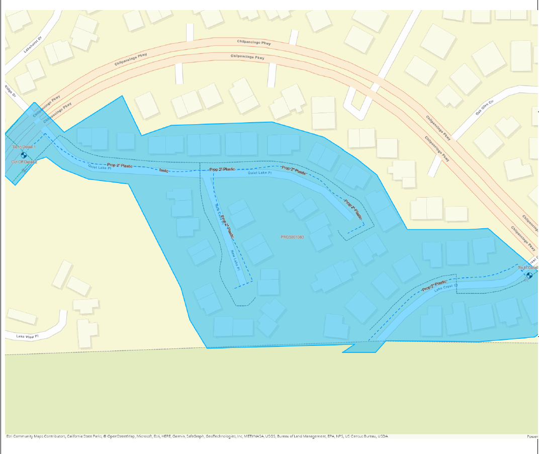
The image above is the map printed on the feature report showing a polygon with blue fill.
The image below is the desired symbology for the polygon in the web map the feature report pulls from.