We are just starting to consider the parcel fabric, so to test it I imported a subdivision that we had COGO lines for and connection lines. I am trying to figure out how best to correct when the surveyors bearing and distances between section corners are different then what we calculate. Currently I would rotate the COGO to match our bearing.
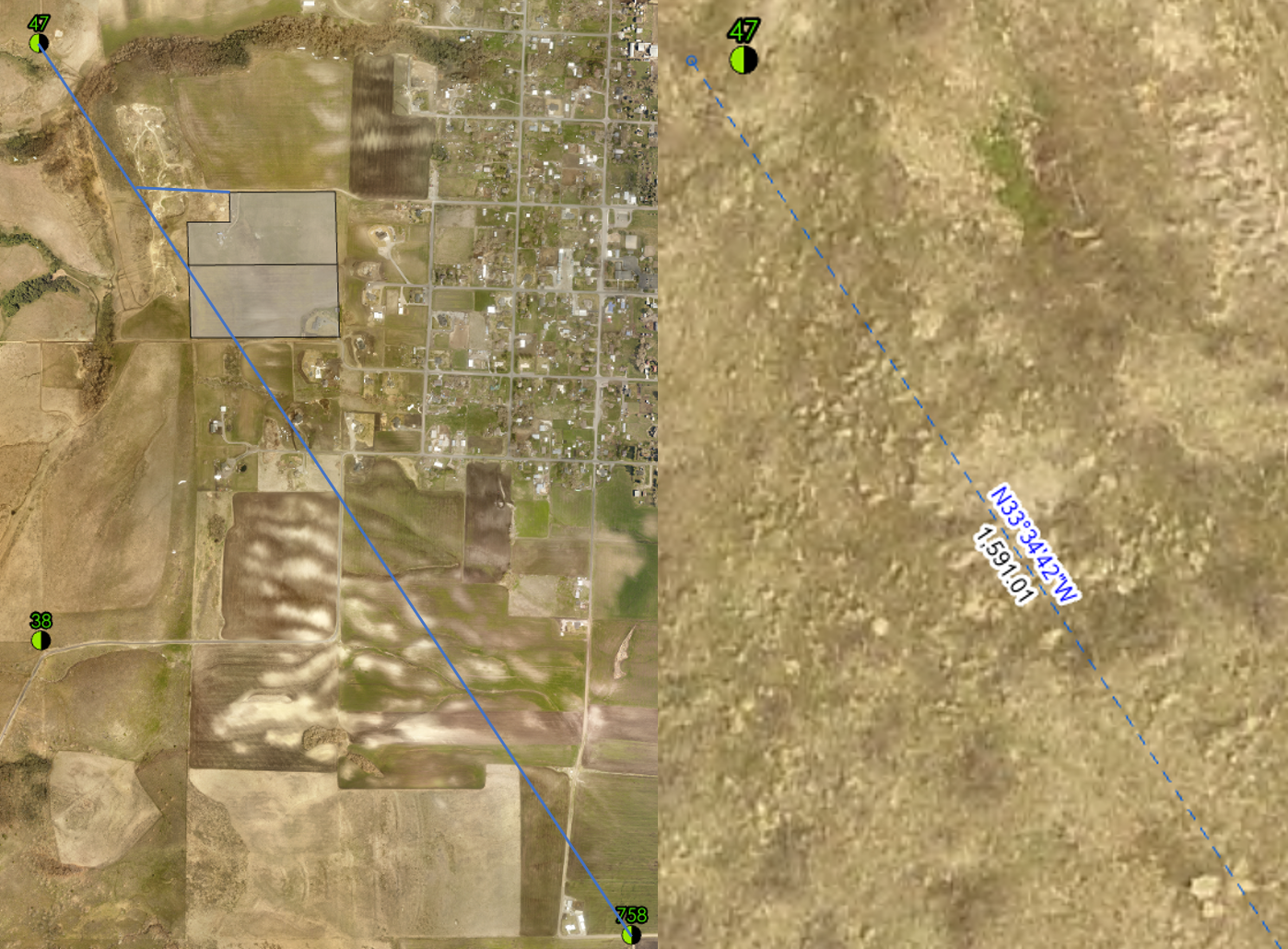
I did talk to some of the parcel experts at the UC and they made it look easy, but I cannot get it work.
What is the best tool or work flow for this?


