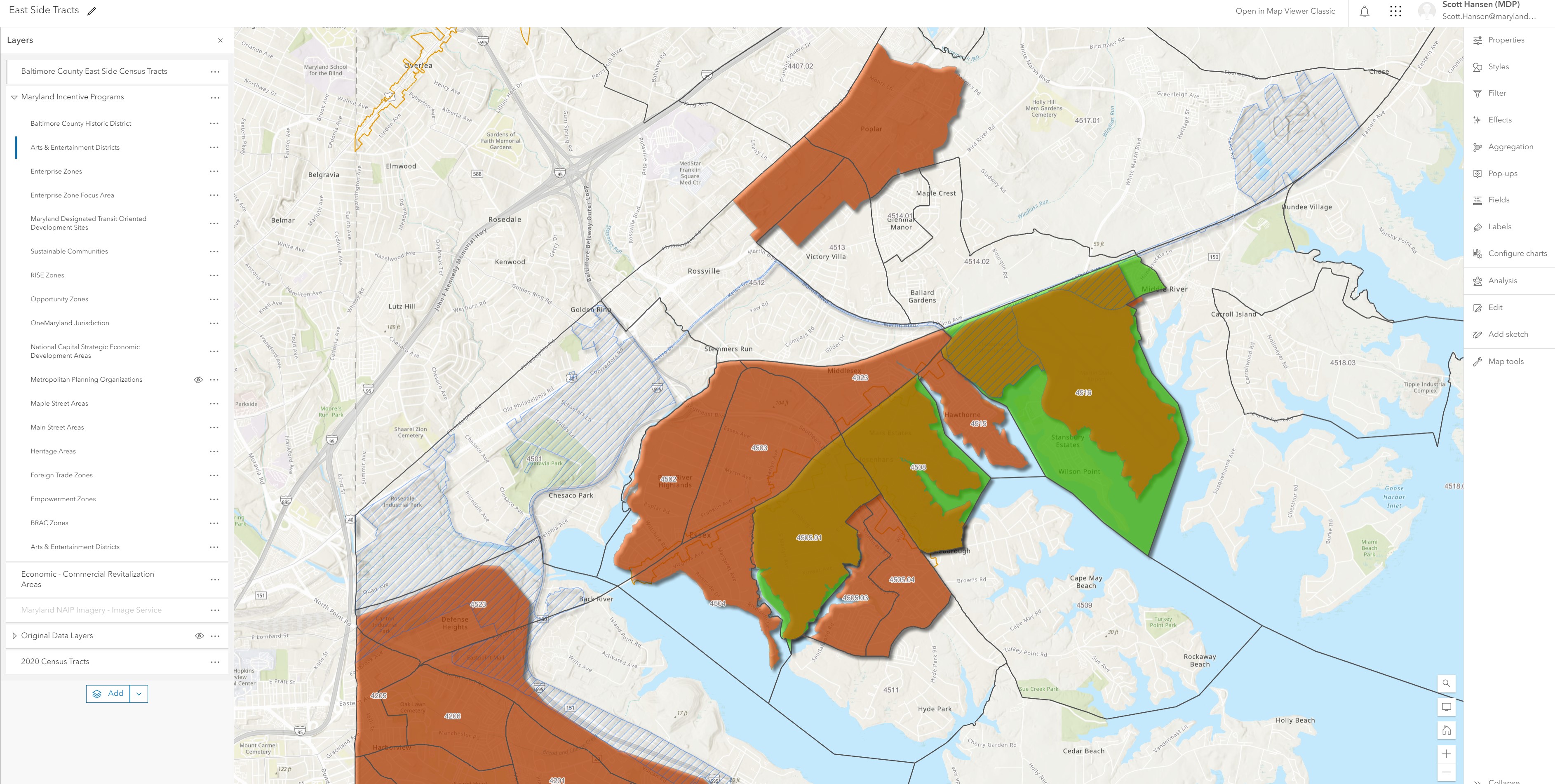
I want to make a map that illustrates census tracts (represented as 1 polygon feature class) and state programmatic layers (represented as 15 polygon feature classes). The idea is to create a web map in AGOL map viewer so that a user can click on a census tract and then be presented with a pop-up of all of the programs contained within that census tract. I would like to display the names of the programs only - counts are not needed. Your help is greatly appreciated.
You should be able to configure that in the Pop-Up using the Arcade expression language.
You can do this on the fly using Arcade in a popup https://community.esri.com/t5/arcgis-online-blog/overlapping-features-in-pop-ups-quick-introduction/ba-p/890862
Les membres connectés peuvent publier, suivre les mises à jour, et plus encore. Nouveau ici ? Inscrivez-vous gratuitement.
Find useful guides, FAQs, and documents to help you navigate and make the most of Esri Community.