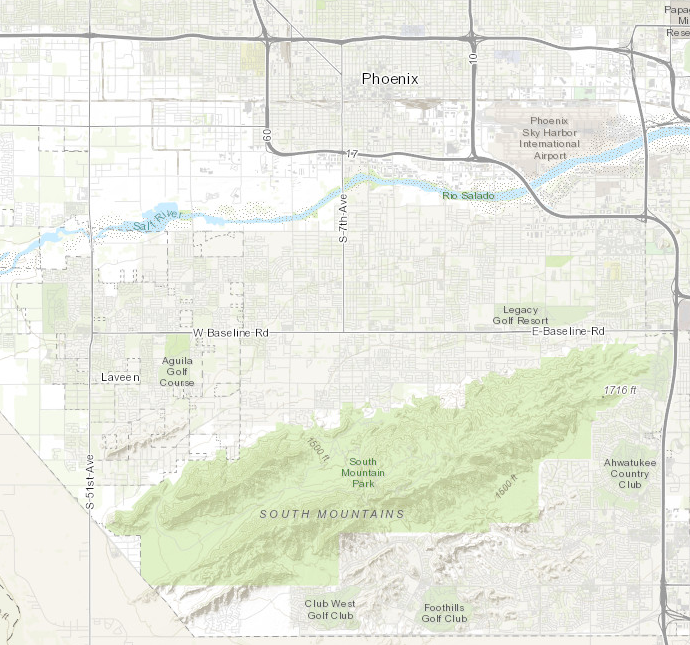
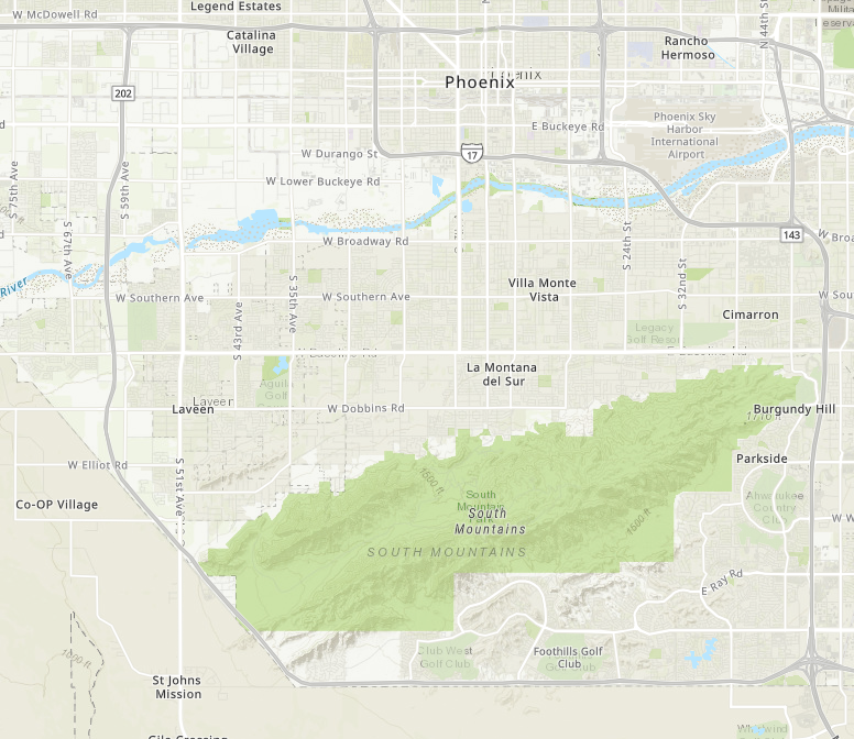
Basically what I am trying to do is replace the topographic basemap we have saved and use throughout our organization with an updated vector topographic basemap while maintaining the original map ID. This way all current applications using the original topographic map will now have the updated vector topographic basemap.
ORIGINAL
VECTOR TOPOGRAPHIC
Do you have an organizational basemap setup?
Have you saved the original and copied over the new one to the old name?
Les membres connectés peuvent publier, suivre les mises à jour, et plus encore. Nouveau ici ? Inscrivez-vous gratuitement.
Find useful guides, FAQs, and documents to help you navigate and make the most of Esri Community.