Hi all-
I've got a bunch of raster data in .tif files and have been creating tiled imagery layers so that the pixel values will be available.
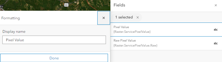
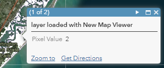
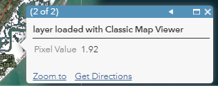
When looking at some of the layers in AGOL the pixel value that is displayed is rounded to a single integer, even though the value is floating point. If I put the same tiled imagery layer into ArcGIS Pro and click on a pixel, the real value is displayed. Some of my tiled imagery layers are fine.
I don't have any custom popup code in AGOL. I use the same process to create the tiled imagery layers and since they display the values correctly in Pro, I think the creation process is fine. Got any ideas?