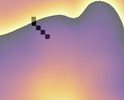
I'm new to GIS and trying to find the area comprising the catchment for municipal stormwater infrastructure, like culverts. I'm getting incredibly small catchment areas, which by visual inspection aren't correct. In the picture below, my pour point is in the top left black area, and the background is a DEM. By clicking around in the DEM, I know that some cells adjacent to the black cells have higher elevation values, and I can't see to figure out why they're not being picked up.
What I'm looking for is to start at some point, and have a tool search for all cells adjacent with higher elevation.s If the cell adjacent has higher elevation, it gets added to the output. I thought this is what "Watershed" does, but I could be mistakes. I've tried different DEMs for the area, checking my extents, filling sinks, etc. These aren't necessarily in high flow areas corresponding to streams, so I'm thinking that might be part of it, but I'm not 100% sure.