I have a very basic gridded array of PointZ features, each containing a variable based on their height above ground. The extent is irregular, but the horizontal grid is uniform (10m spacing) and height is also (1m spacing)
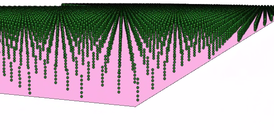
I would like to convert these points into a NetCDF file to then visualise as a voxel model. My end game is to then assign soil types to points based on isosurface rasters, and convert to a voxel model.
I have to say, the documentation around NetCDF, Voxels and Multidimensional processing is chaotic and incomplete. The descriptions of variables and dimensions are confusing.
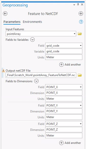
My assumption is that I could assign Shape.XYZ as dimensions, and the test variable (height) as a variable. But im getting errors.
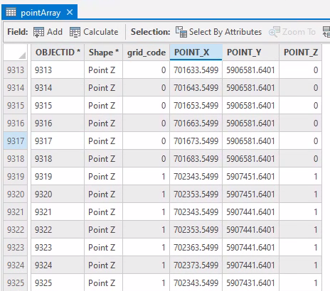
Here's the Point dataset attribute table
Here's how i create the NetCDF:
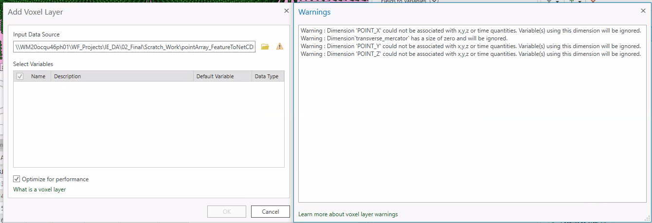
And here are the errors:
Any ideas where I'm going wrong?
FYI, I don't want to go down the route of a Space Time Cube as I dont have a time variable, and I don't want to create a geostatistical dataset because I dont want to interpolate the data. I just need to visualise gridded points as a voxel model.



