I'm trying setting up a project in my ArcGIS GeoBIM app. I link my Autodesk account and the ArcGIS GeoBIM tools allow me to find issues and boundaries for my documents in BIM360. All the boundaries of the documents with .dwg extensions are correctly placed, meanwhile .rvt documents boundaries are placed in the wrong location (they end up in the north pole).
.dwg documents have projected coordinate system (wkid: 32632), meanwhile .rvt documents are seen with a geographic coordinate system (wkid: 4326). I tried giving a projected coordinate system on Autodesk Revit but in ArcGIS GeoBIM is always seen as Geographic (wkid: 4326).

I tried setting up the ArcGIS GeoBIM tools with both WKID 32632 and 4326. I also tried, as said in the documentation, to set the wkid of the map/scene in ArcGIS Online (Web Mercator, wkid 3857). I also tried using the button "force synchronization". Nothing changed.
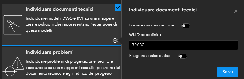
Am I missing something?
Thank you in advance for your help,
Lorenzo


