Hello GeoNet team
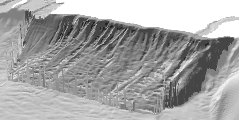
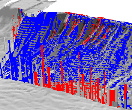
I am working on a a cut fill operation to determine the volume of a possible submarine landslide. I am using both and ArcMap to process and ArcScene to view my results in 3D. I've completed my processing steps in ArcMap and when opening my data in ArcScene I get these interesting spike anomalies> any ideas why?
I thought it might be a result of the fact that my original image with 2m resolution and I was doing my trend in 5 m resolution. So I changed that and still get these spikes. I wonder if this is common, as I did not see this question when searching.
If someone could please let me know what I might do to clean this up, I would be grateful.
Thanks
Jess
See image below