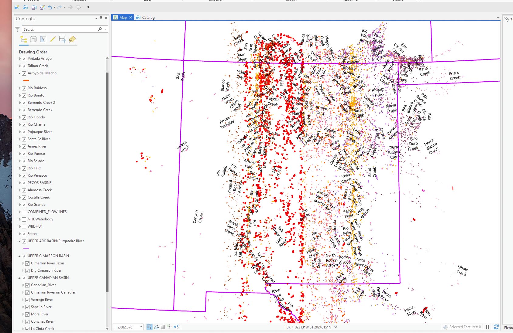
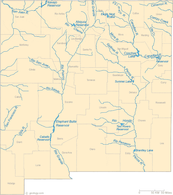
This is a very VERY simple ArcPro map of major New Mexico rivers built by extracting specific rivers from the US hydrology set. I've attached a simple map that shows what I'm aiming for. Each river's symbology is a different color and line weight (so I can select them later in Adobe Illustrator). They are not dashed lines, just simple symbology. When I closed it last night it looked great--lots of great river lines. Today it opens as a Cezanne painting!! Every river is rendering in bits and pieces instead of as lines. Any clue what is happening here? I just installed the latest ArcPro and it didn't make any difference. PS --I went back and looked and every single attribute table has been corrupted. Correct number of lines of data in each table but data has been changed. Any idea what did that?