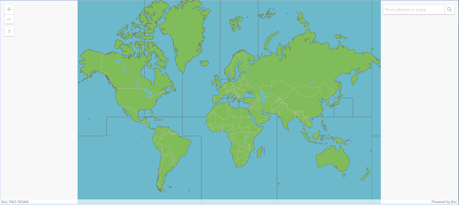
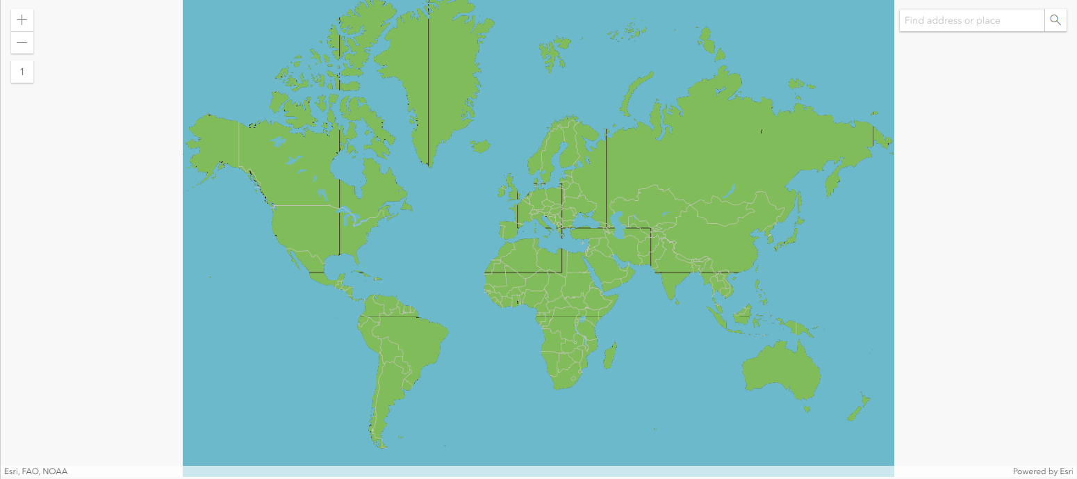
In hopes of creating a simple vector tile map, I would like to add a distinct outline to separate land and ocean (without state boundaries). However, when adding an outline to either land or water polygons at a global scale, arbitrary (tile) lines across the continents or oceans are appearing.
Thanks in advance!

.png)