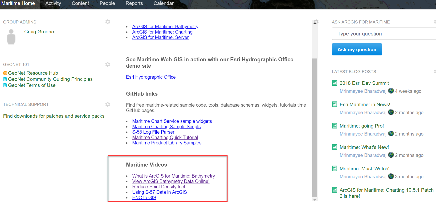
We are in the midst of uploading exciting new blogs with videos explaining the processes that are an integral part of not just ArcGIS for Maritime but specifically ArcGIS for Maritime: Bathymetry.
Recorded and narrated by our talented and experienced engineers, cartographers and GIS specialists, this is a must-visit repository.
Please do keep an eye out for more uploads in this space!