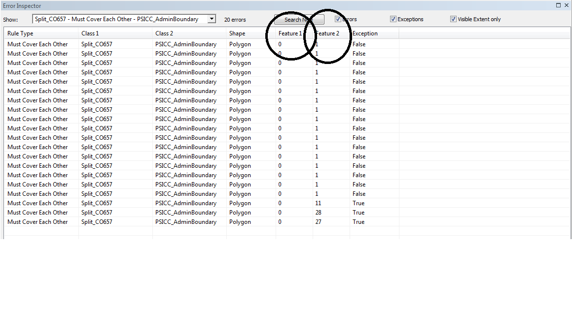
I do have a question about Geodatabase Topology's Error Inspector and I have looked at the ArcGIS help online however, I could not find it . Here is the screenshot of what I am trying to explain. See the picture here and here are the two circles I drew on Feature 1 and Feature 2.
What I am trying to understand about it and how these works. As I work on them , I begun to understand but need to grasp what it is and what it does to...