I have problems with a simbology in a linear layer.
I defined the symbology using the "Categories -> Unique values, many fields" strategy in ArcMap.
One of the two fields I am using is named STYLE and has only two values: VERTICAL and DEVIATED.
VERTICAL defines lines which have vertical geometries, i.e. coincident XY coordinates and different Z coordinates.
I defined the style in a way that is working fine in ArcMap, but after I published the mxd with this layer and this symbology to ArcGIS Server as a Map Service, the VERTICAL lines are not displayed.
Here is how I defined the symbology (e.g. for values Dry, VERTICAL):
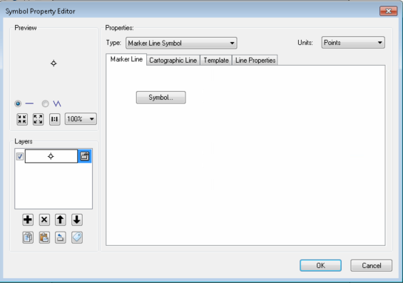
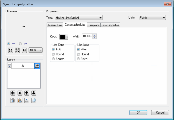
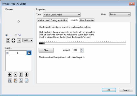
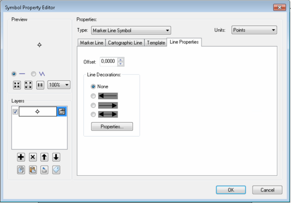
In ArcMap I zoom in to a "Dry, VERTICAL" feature and I see it correctly.
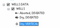
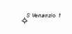
From ArcGIS Online I visualize my Map Service and zoom in the same zone but I can't see the feature (only a label is displayed but this stays in another layer):
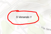
Also, look at the difference in the legend from AGOL:
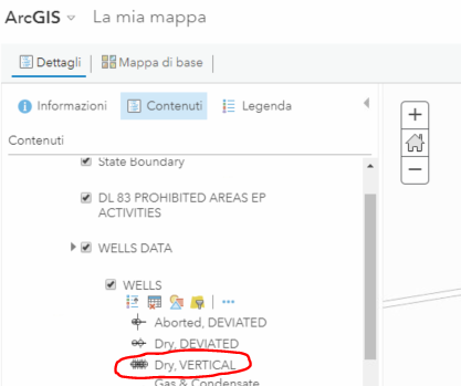
Looking at the service details in REST, here is what I see:
Drawing Info:
Renderer:
Unique Value Renderer:
Field 1: Edison.DBO.ITA_WELLS.RESULT
Field 2: Edison.DBO.ITA_WELLS.STYLE
Field 3: null
Field Delimiter: ,
Default Symbol:
N/A
Default Label: null
UniqueValueInfos:
- Value: Dry,DEVIATED
Label: Dry, DEVIATED
Description:
Symbol:
Style: esriSLSSolid
Color: [0, 0, 0, 255]
Width: 1
- Value: Dry,VERTICAL
Label: Dry, VERTICAL
Description:
Symbol:
Style: esriSLSSolid
Color: [0, 0, 0, 255]
Width: 18
The version of ArcMap is 10.6, that of ArcGIS Server is 10.6.
Anything I am missing?

