So I've made a very good looking hillshade using a raster function like explained here:
Hillshade function—Help | ArcGIS for Desktop
I just used the defaults: Azimuth=315, Altitude=45.
But used a Z factor = 5.
The result in arcmap is very nice:
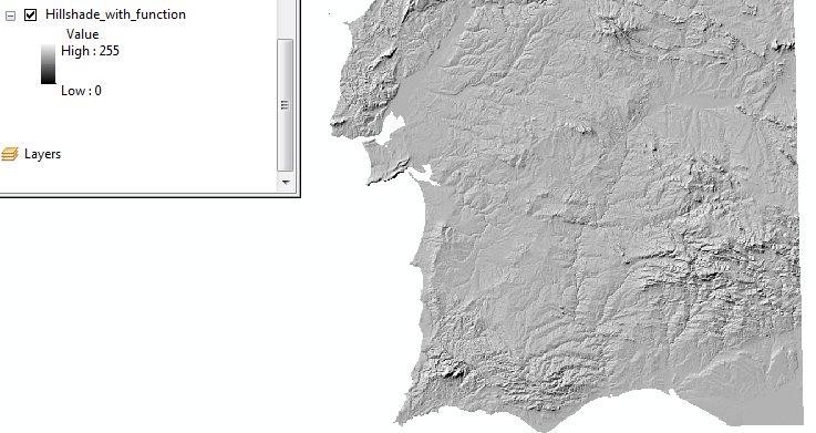
So now I'm trying to get this to a file... everything I tried does not replicate the same visual output. Anyone knows how to get this function result to a file (not a lyr, but a raster)?
First attempt: Data Export, like it says in the Help. This is the result:
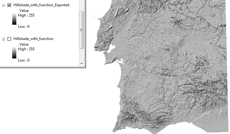
As you can see there's plenty more "noise"...
Second attempt: run Spatial Analyst Hillshade tool with the same arguments... I get the same noisy result:
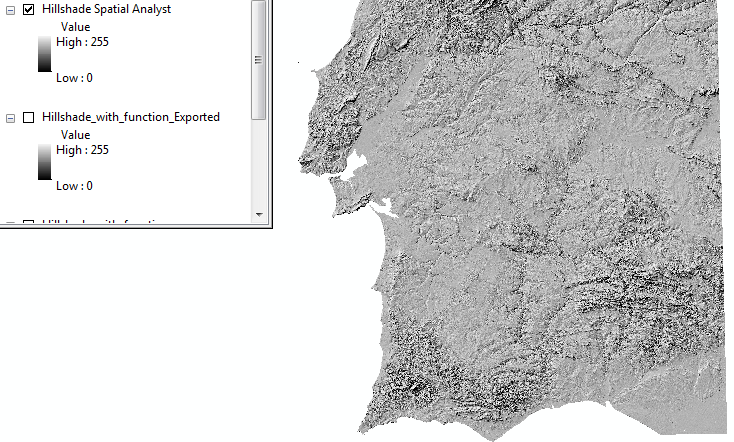
... geonet applies some kind of aliasing to the images posted. In my arcmap these images are even more grained.
So, the question is: how to save to disk a hillshade raster function that really reproduces what you see on screen?
Thanks.



