I have a polyline shapefile (1.500.000 road segments) and a point shapefile (the road segment's name). What is the most efficient way to update the polyline shapefile using info from the point shapefile.
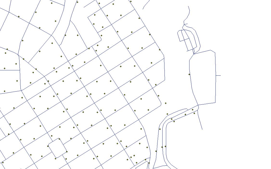
Do i have to use a specific tool i.e SelectLayerByLocation_management and a cursor? Is there a more efficient way?


