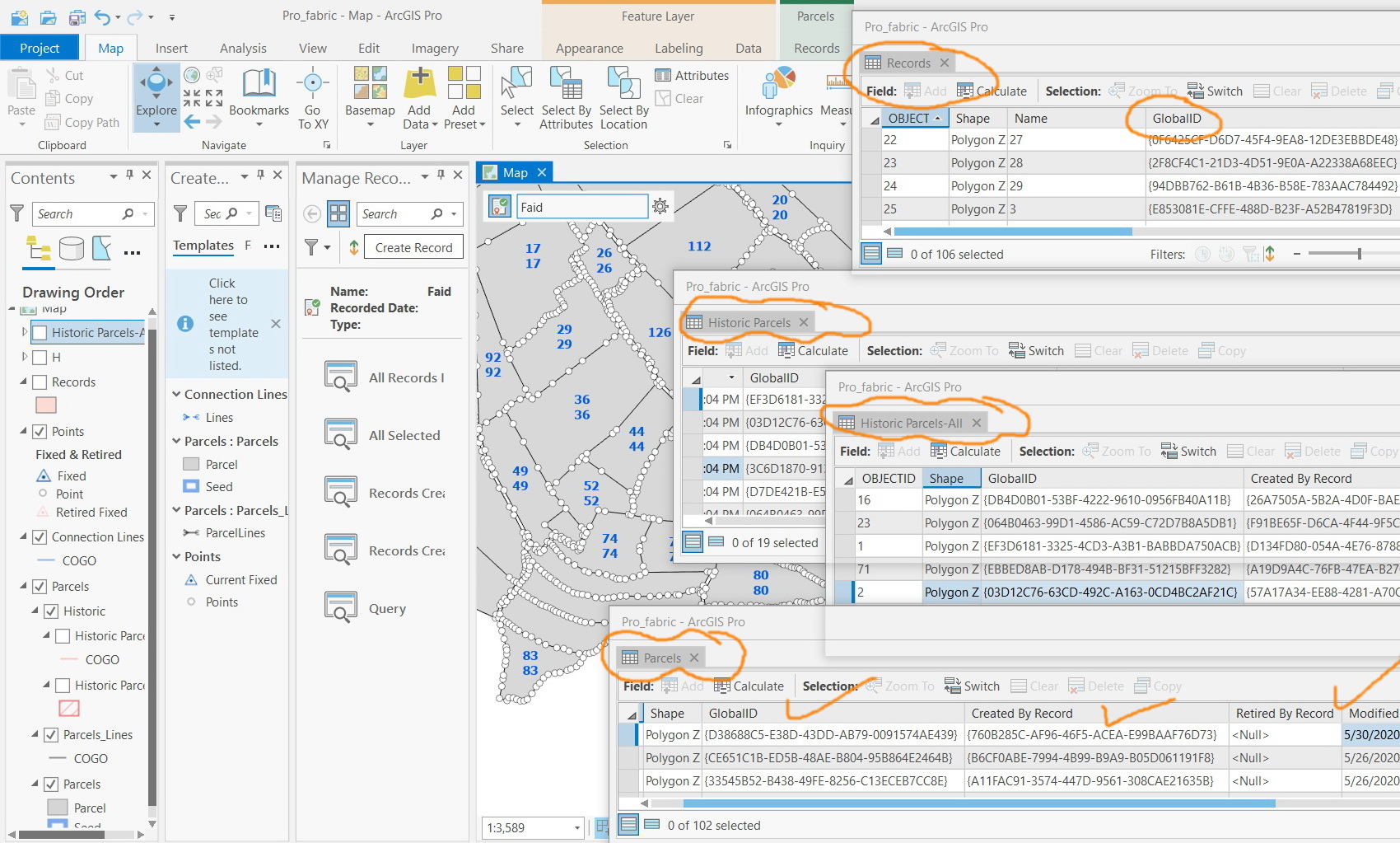
ArcGIS Pro 2.5: How does the fabric feature classes and their ID fields work in case of parcel merging and dividing?
I couldn’t figure out how fabric feature classes (parcels, records, and historic parcels) and their ID fields (global ID, created by record, retired by record) are generated in case of parcel merging and dividing.