Hi all,
I want to apply this example of Calculating Solar Radiation to my work:
Explore Solar Radiation | ArcGIS for Local Government
In the requirements of Calculate Solar Radiation Rasters task (see image 1), I have to "Enter the surface model you wish to include in the analysis. This can be a bare earth DTM or a DSM" in the Surface Model field. (see image 2).
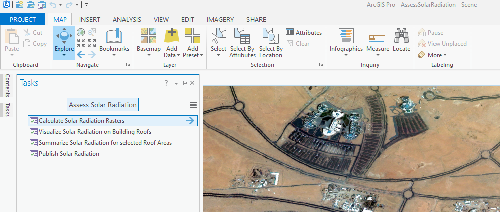
(image 1)
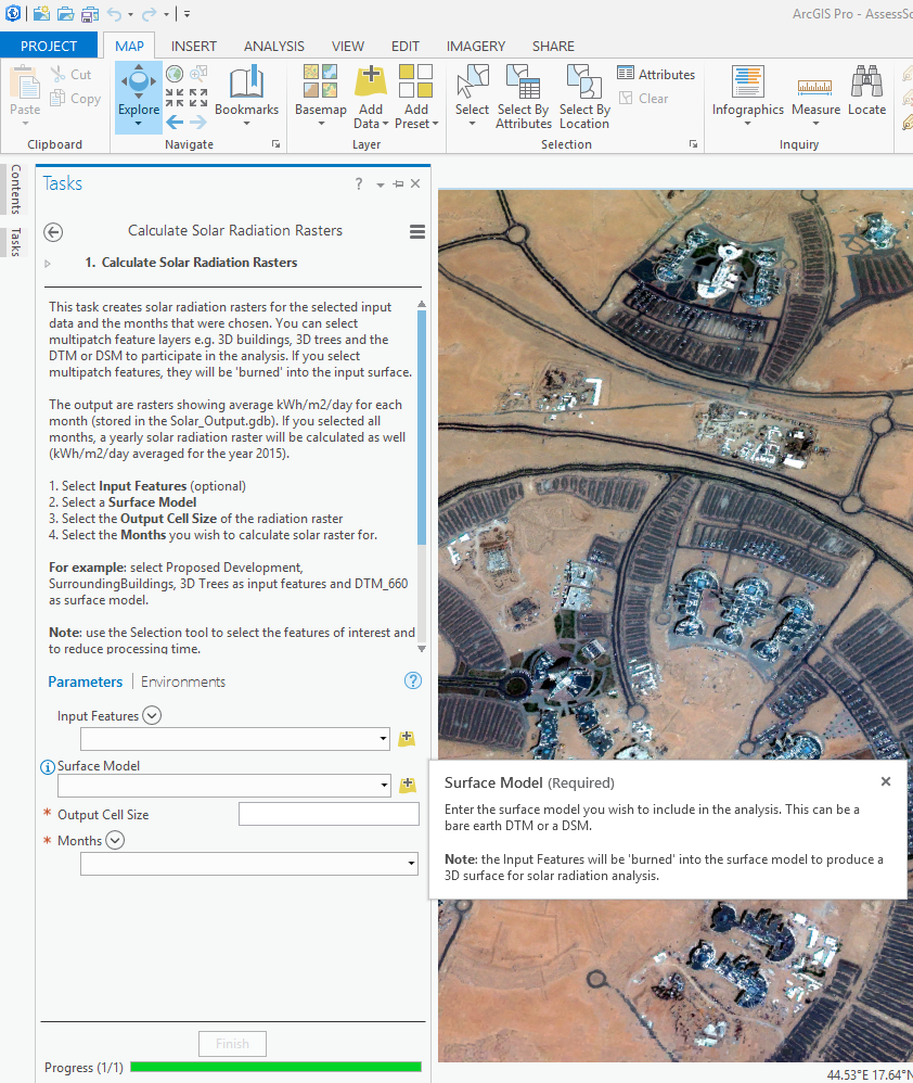
(image 2)
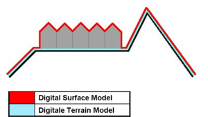
From the internet, DEM is most of the time used as a generic term for DSMs and DTMs. This image on Wikipedia depicts the differences between DSMs and DTMs well:
Now, I ONLY have a (.TIF) image for my project. This image was taken by a satellite with very excellent resolution.
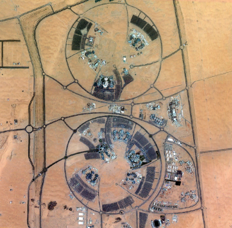
I suffered a lot of problem in running this example to my work as I don't have DSM or DTM for my work's area. I reach to this point after several investigation.
The question:
Is there anyway to either convert my high resolution TIF image to DSM or DTM, or any alternative solution?
Note: There is not Lidar data or image for my work's area.
Dan Patterson
iamurray


