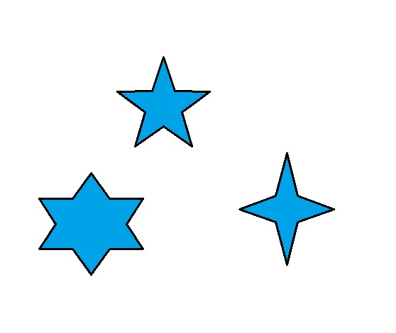
The images below are kind of crude but I hope they help explain what I am trying to accomplish. The blue background is a TIN and the star shapes are from a shapefile with contour lines. How can I get the TIN to only show the data inside the contour lines? Do I mask the TIN or re-create the TIN? Or, extract by mask? The contour lines represent lake depths and there are actually many more lines within the shapes/lakes. The TIN shows the depths which are negative. The blue area outside the shapes is identified as having a depth of -5 so that area might be lowland or swamp or something but I want to exclude it from the TIN. If I try to change the color of any area that is -5 then I loose the color inside the shapes as well as outside the shapes.
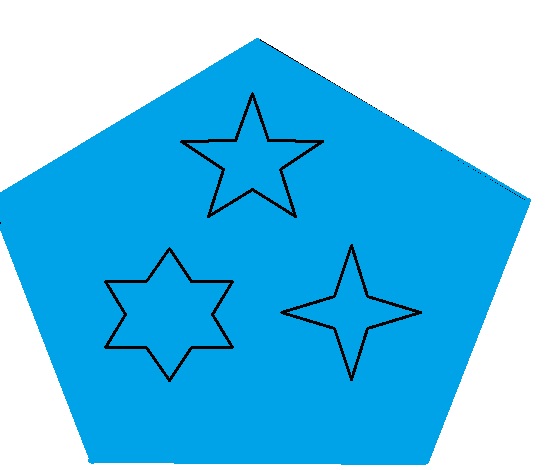
what it looks like now above and what I want it to look like below