I have a customized python raster function, which is pretty simple, setting some given values among the input raster to zero.Here, I used numpy
inputRasterNumpyArray[inputRasterNumpyArray==target_value]=0
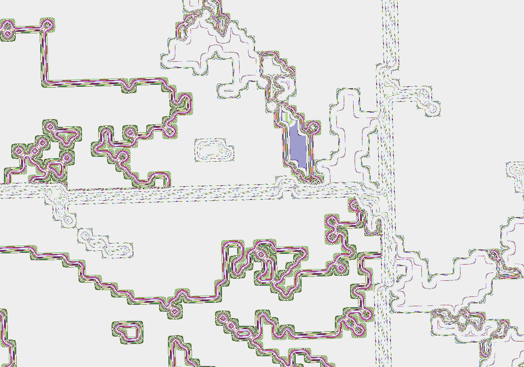
The function works well in ArcMap. But when I used this raster function to render an image service, the result is very strange (see below). I can see vector lines when zooming in. Does anyone have any idea why it looks like this?