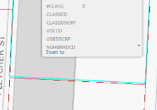
When using AGS map service with our system, in some cases the highlighted parcel boundary is misaligned with the underlying parcel boundary even when the presented map service and the queried map service are generated from the same source. The coordinate reference is Web Mercator and AGS is 10.22 although we are not sure it is exclusive to 10.22. We reproduced the same offset in ArcGIS.com so it seems like not related with the application's code. Any idea?
Example from our application:
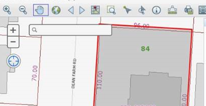
Example from ArcGIS Online: