I would like to rotate Point features along a line feature. The angle should be calculated depending on closest selected line feature. E.g. valves along a water conduits. The valves are in one Point feature class and the water conduits are in a polyline feature class.
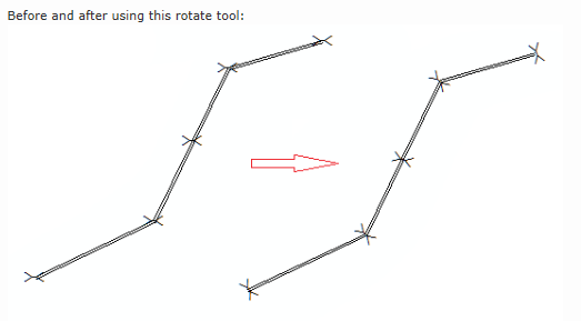
I have heard that this is part of the Cartographic representation Tools, but could somebody help me with a more precise description?

