Hello,
My task is:
1. Spatial Join multiple features to a Site_Boundary polygon feature
2. Export the output file to a single Excel document containing the target layer and all joining layers.
So far here is my model:
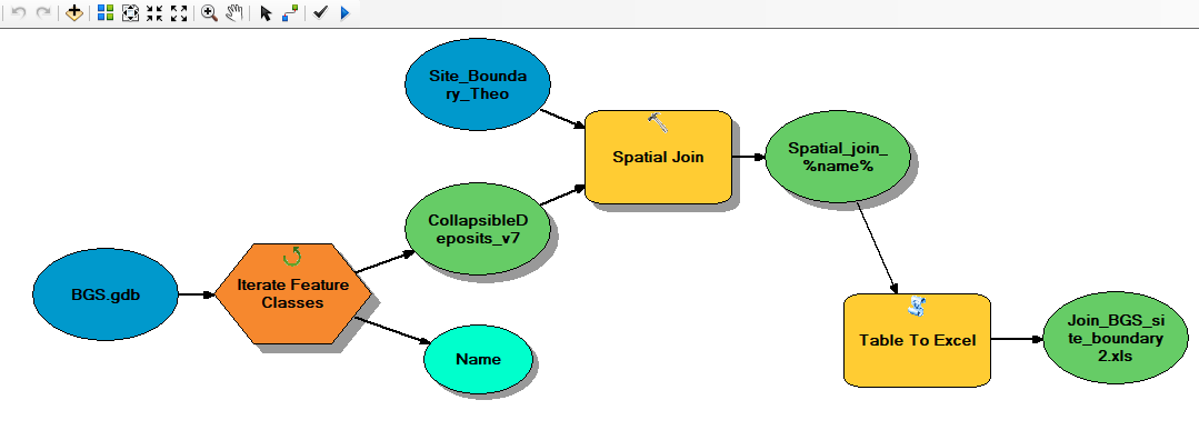
BGS.gdb is where the joining features are located (polygons and lines).
I spatially join each feature to my target feature (Site_Boundary_Theo) using Iterate Feature Classes.
The output is given the name Spatial_join_%name%.
This output is exported to an Excel file.
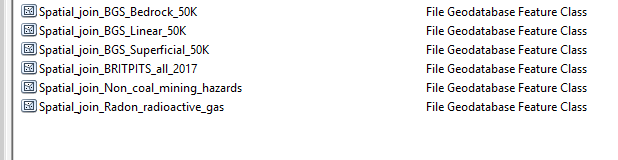
The spatial join creates multiple Site_Boundary feature classes (with the name of the joining feature appended to the file name):
The output Excel file only contains data from one of these feature classes:
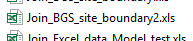
In this case, the Excel file is the Site Boundary attribute table with the BGS_Linear_50K attribtues joined.

My question is, how can I create a single Excel file showing the target layer with ALL the joining layers?
Thanks,
Theo


