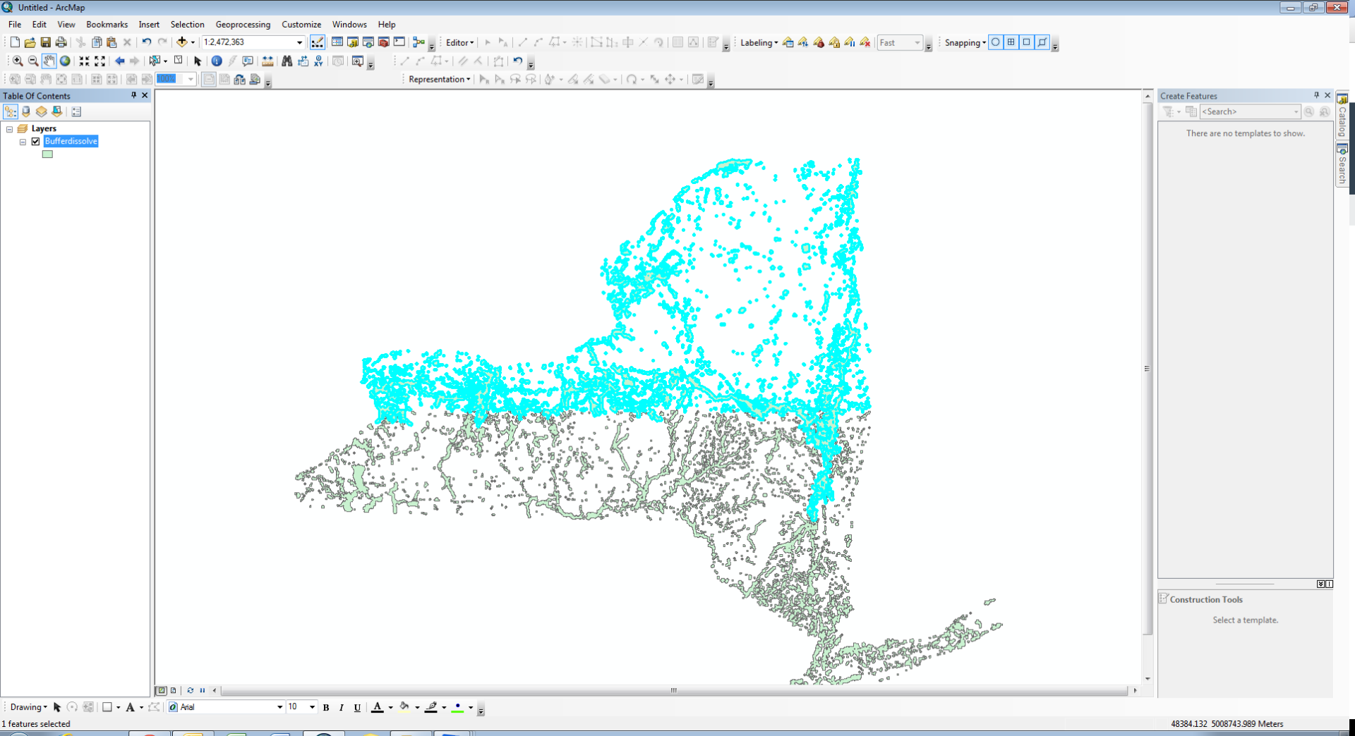
The above screenshot shows the result of a dissolve function on some data in New York. The dissolve scripting is set such that it should dissolve into one single feature, but as you can see above, there is a geographic division going on. Anything with any part north of a line is one feature. When I run the dissolve tool in the Map interface it dissolves into one feature with no issue, any idea why I am getting a split? Even when I try to dissolve twice, in case its a batch issue, it returns this.


