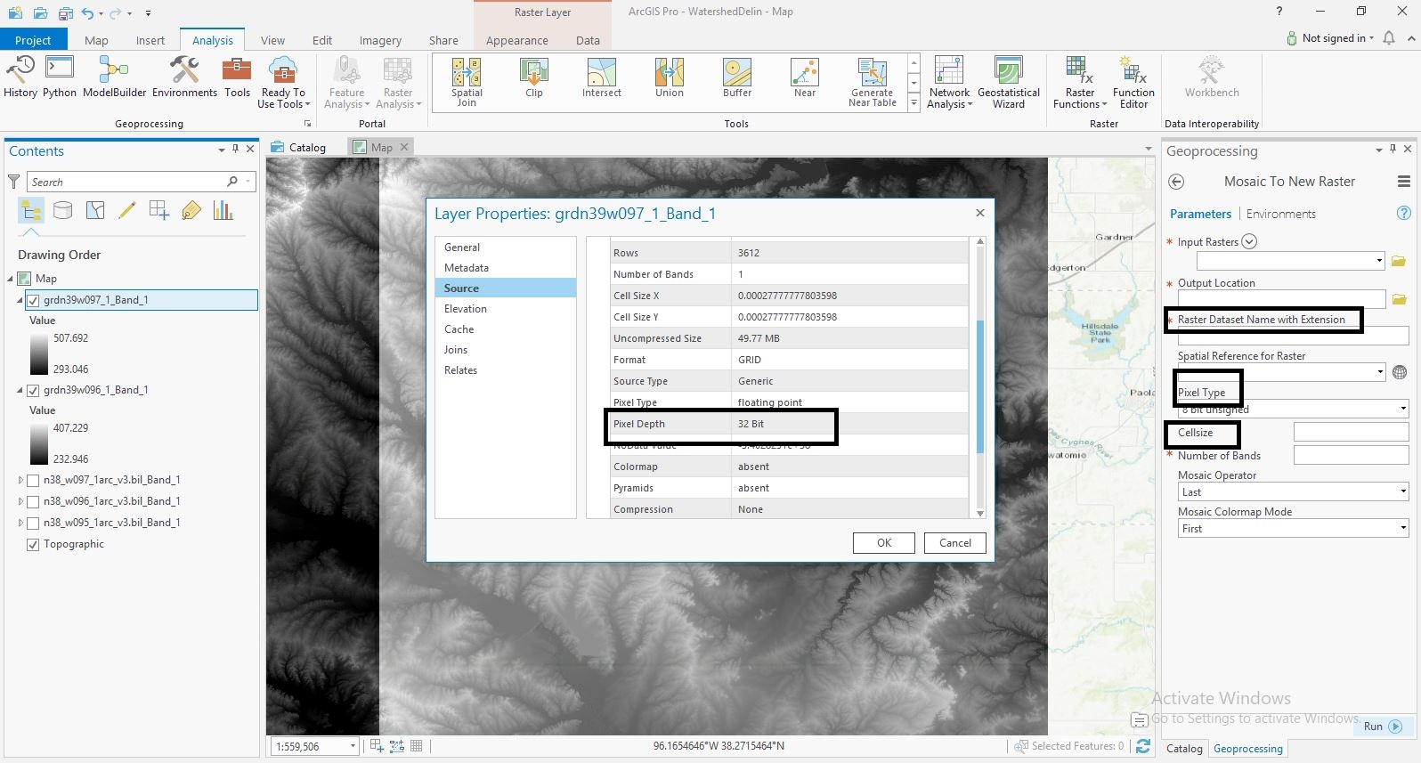
I'm not sure if I am doing something wrong? If someone can tell me if I'm using the right tools, then maybe I can follow up with the issues I have been running into. I have two rasters and I want to combine them into one because I want to run some hydrology tools and I don't want to do it twice to both rasters. Should I be creating a new raster dataset (blank) and using the mosaic to new raster tool to piece them together?
When I open the mosaic to new raster tool I'm not really sure how to populate the fields. Does the pixel depth populate the cell size and pixel type? And when I am naming my new raster dataset, I'm not sure which extension to use (bil. vs. bip vs. tif)
See attached screenshot. Thanks for any advice!