Hi,
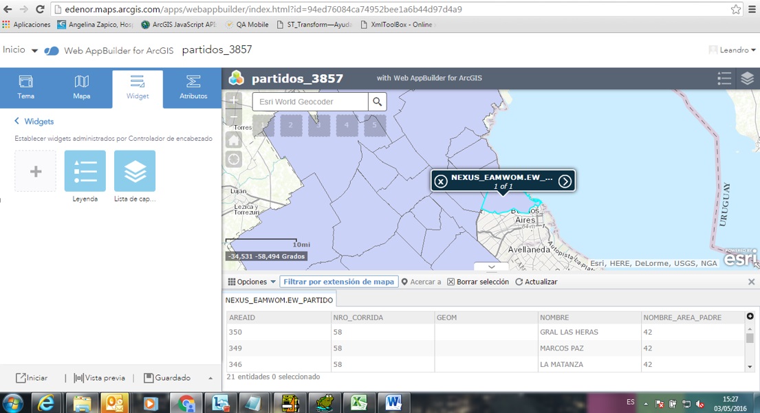
We have added in an ArcGis OnLine map application some Buenos Aires district polygons. The data is stored in Oracle Locator, using a local projection System (Posgar 2007, Faja 5, csid 5347), and we published it using a WS in our local server. In WebAppBuilder , the polygons seem to fit the base map:
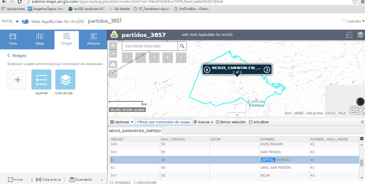
The strange thing comes when we zoom using the attributes table. When we double click in any row, the application zooms to Kasakhstan: