ArcMap's Identify tool is really useful for clicking on a map view, then providing the coordinates for the point being queried under the Location window on the Identify tool pop-up. For me, it is really easy and useful tool for assisting with the georeferencing of localities by first finding them in ArcMap, then copying the locality information and pasting it into a database.
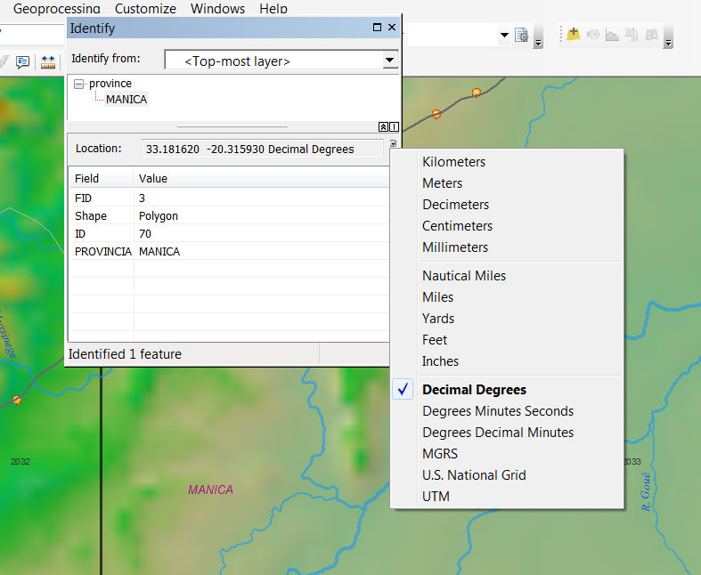
I am unable to find any similar tool for doing the same in AcrGIS Pro 1.2. Am I missing something?
The Measure features tool under the Inquiry menu comes close but only selects features and does not provide coordinates. I am hoping there is a tool that provides coordinates by simply clicking somewhere on a map.
I really hope I am just not seeing it .....?
Cheers
Mervyn




