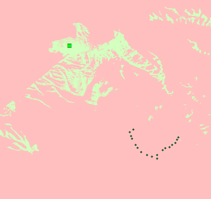
We want to create a view-shed analysis between 2 points.
So we have a hotel and wind turbines.
We want to know if you can see (from standing on top of the hotel 45 meters) the turbines (which are points) about 6 - 7 miles away.
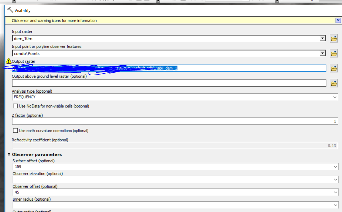
This is how I set up the tool. From the Point (hotel) I raised it 45 meters. Then I raised the surface offset to the height of the turbine 159 Meters. The results looks like it makes sense but I dont understand if the way I did it makes sense.
Is there a way you can do a view-shed analysis from 2 different points that have to be extruded.
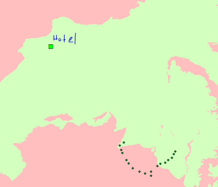
Here's what the analysis looks like if I dont offset the terrain by the height of the turbine.