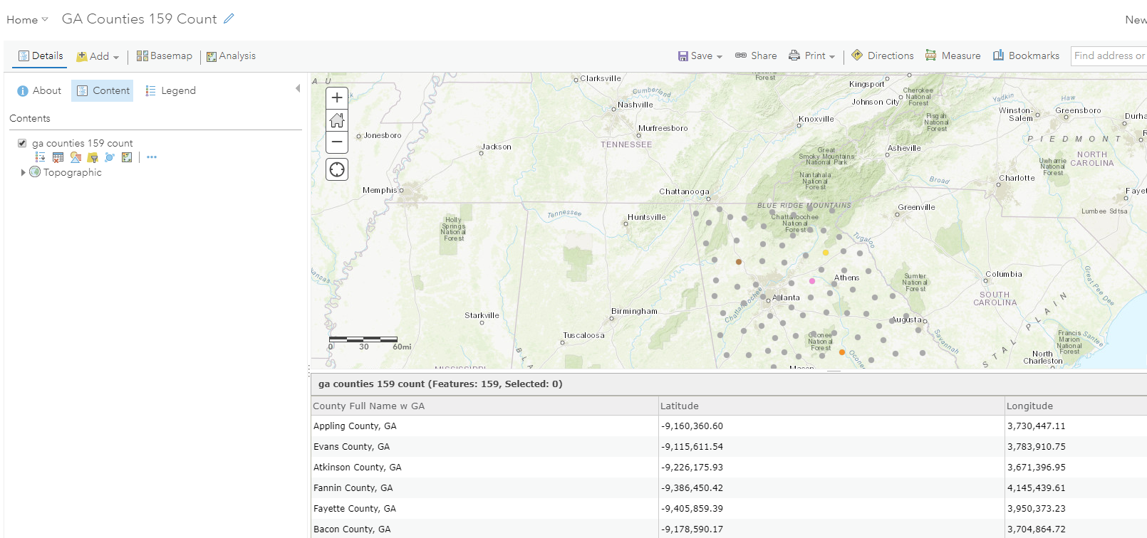
In ArcGISOnline, I loaded a file of 159 counties and in the attribute table, created two additional fields, a lat and long. I added a calculated feature using Geometry($feature).x for the x value and similar for the y. The data doesn't appear to be degrees or radians. Am I missing a conversion? Thanks.
The lat / long of Appling County, GA is 31.7 deg N, 82.3 deg W.
The calculation for this county in ArcGIS is x = -9,160,360 and y = 3,730,477.
See screen shot.