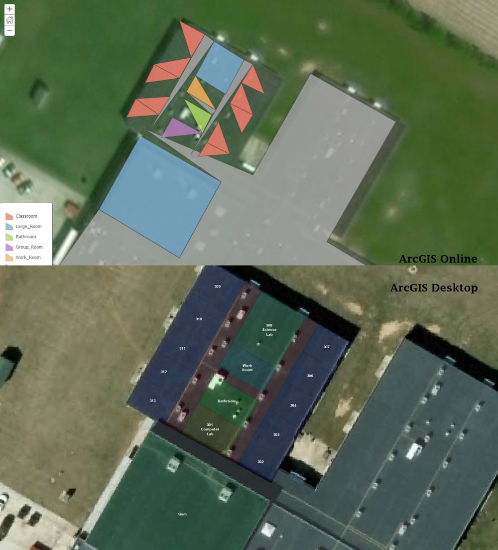
I'm working with a polygon shape file that I'm editing in ArcGIS Desktop. I have one large polygon that is used as a footprint for a building and I'm cutting the polygon trying to separate it to categorize rooms like a blue print. In desktop is shows up fine but when I upload it to ArcGIS Explorer Online it displays my rooms as cut up looking triangle. Does anyone know why it would be doing this? I attached a picture.
Thanks!