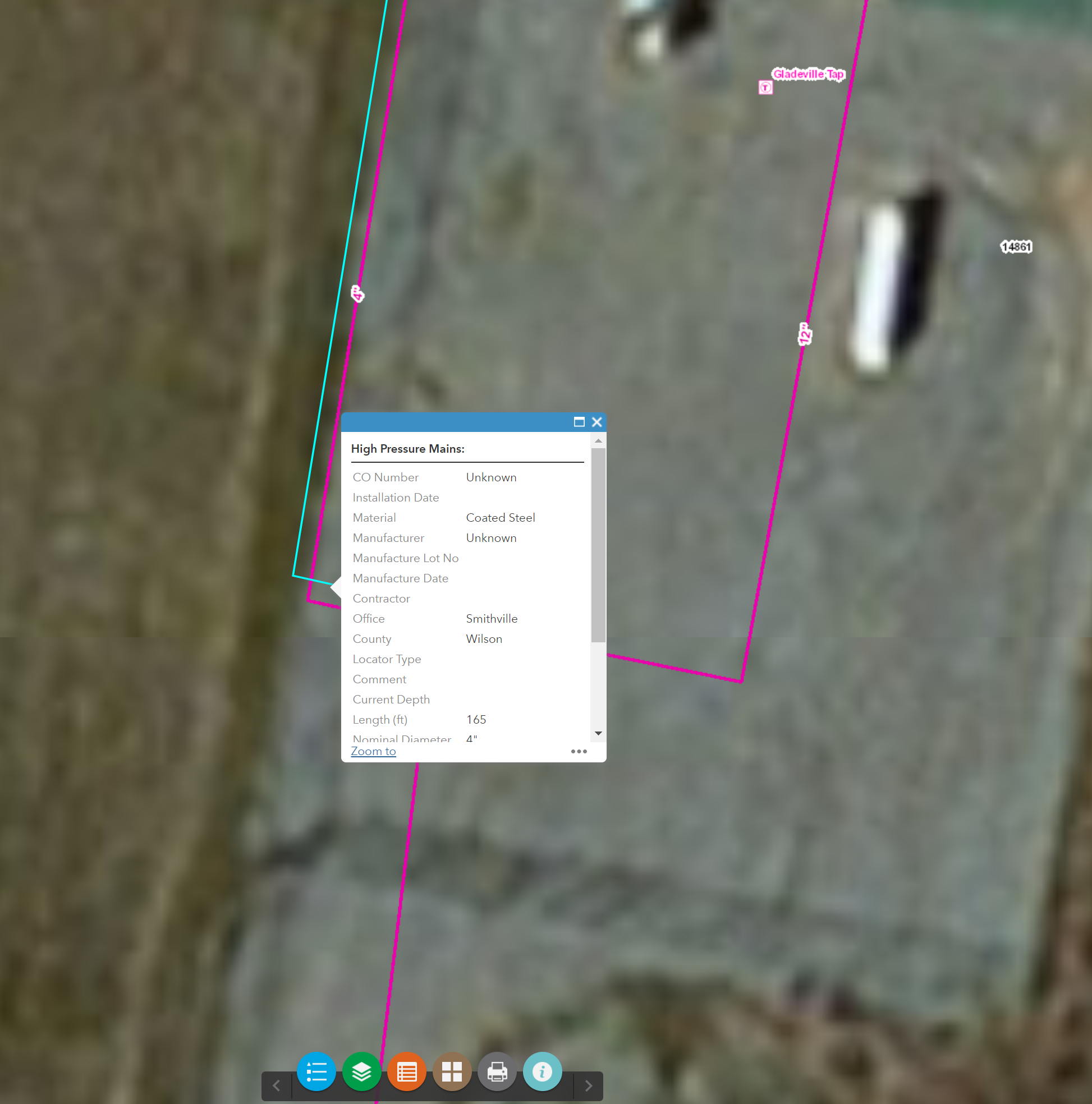
The layer is rendering in the right place but when selected the selection is shifted to the original projection.
We noticed our data was getting shifted when publishing to our ArcGIS Server and being consumed in AGOL. So we made a coordinate system change in the MXD before publishing per ESRI best practices, "The Standard for Sharing Data on the Web - How to set the ArcMap Data Frame for On the Fly Projection."
There is no line where the blue line is, this is just a selection of the purble line, but shifted 3 ft east.
My question is how to correct this behavior?
Going from NAD 83 to WGS 84