Looking Back at the Beginning
When I began my career in geospatial education more than 25 years ago, my focus was on surveying, mapping, GIS, and remote sensing. My name is Dr. Sowmya Selvarajan, and I am an Associate Professor of Computer Science at Utah Valley University. Throughout my career, I have taught geospatial technologies while watching the field transform in remarkable ways. In this post, I reflect on how GIS has evolved, from desktop mapping to cloud computing and GeoAI, and how that evolution has continually reshaped my teaching, research, and the opportunities available to students.
When I first started teaching, GIS was primarily used for creating maps, managing spatial data, and performing analysis on desktop computers. Data was often difficult to find, processing imagery required significant effort, and many tasks that are now automated were completed manually. My goal was simple: help students understand the world through maps and spatial thinking. What I did not realize then was that the geospatial profession was about to undergo an extraordinary transformation, and I would have the opportunity to grow alongside it...
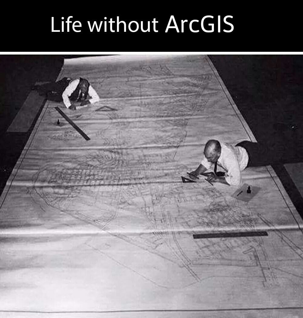
The Living Atlas Revolution
One of the developments that has had the greatest impact on both my teaching and research is the growth of Esri's ArcGIS Living Atlas of the World. Early in my career, finding reliable geospatial data often required significant time and effort. Students often spent hours searching for datasets, evaluating their quality, and preparing them for analysis.
Today, Living Atlas provides access to an incredible collection of authoritative maps, satellite imagery, environmental data, demographic information, and real-time feeds from around the globe. For example, demographic analysis used to be one of the most time-consuming parts of many GIS assignments. Students often had to search for U.S. Census Bureau American Community Survey (ACS) data, download multiple tables, verify data types, and join the information to geographic boundaries before they could begin their analysis. Today, many of these datasets are available as ready-to-use Living Atlas layers, allowing students to immediately explore population, housing, income, education, and other community characteristics without spending hours preparing the data.
The availability of these resources has transformed the classroom experience, allowing students to spend less time preparing data and more time asking meaningful questions, exploring patterns, and solving real-world problems. As technology evolved, so did my teaching. I found myself learning new software, exploring new datasets, and adapting courses to prepare students for a rapidly changing profession. What began as teaching traditional GIS and remote sensing gradually expanded into web GIS, spatial analytics, cloud computing, machine learning, and eventually GeoAI.
Growing Alongside My Students
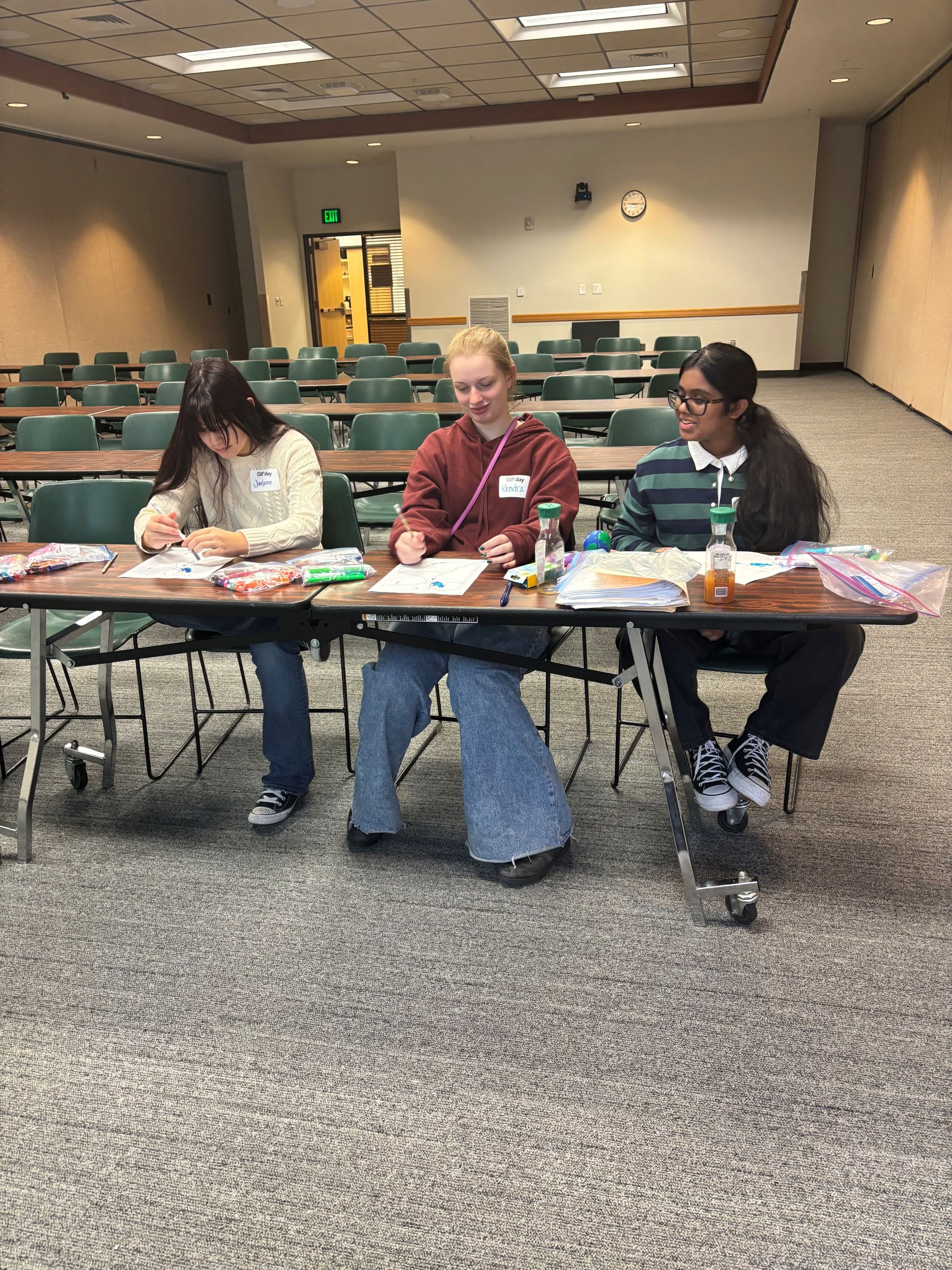
Along the way, one of the most rewarding experiences has been working with students from many different backgrounds. I have had the privilege of mentoring students in surveying and mapping, environmental science, bioinformatics, mechanical engineering, computer science, and computational data science. I have also enjoyed helping high school students develop spatial thinking skills and discover how geospatial technologies can be used to investigate real-world problems. Each group of students brought a unique perspective. Environmental science students wanted to better understand ecosystems and natural resources. Computer science students were interested in algorithms and artificial intelligence. Engineering students focused on technology and data collection. Regardless of their major, they all shared a curiosity about understanding patterns and relationships through location-based data.
Geospatial Science Without Boundaries
These experiences taught me an important lesson: geospatial science is no longer confined to a single discipline. It has become a common language that connects many fields of study. One of the most significant changes in my own career occurred when I transitioned from the Surveying and Mapping program into the Computer Science department. At first glance, these may seem like very different fields. However, the more I worked with emerging technologies, the more I realized how closely geospatial science and computer science were becoming connected.
Today's students need more than mapping skills alone. They need programming, data science, cloud computing, and artificial intelligence skills. Likewise, computer science students increasingly benefit from understanding spatial data and geographic problem solving. My transition reflected a larger trend occurring throughout the geospatial industry, where spatial thinking and computational thinking are becoming inseparable.
Entering the Age of GeoAI
As GeoAI emerged, new opportunities for student research began to appear. Projects that once seemed impossible became achievable. Students could use machine learning to study environmental change, analyze satellite imagery, identify patterns in large datasets, and develop predictive models. Many of the projects I mentor today combine geospatial analysis with artificial intelligence, allowing students to investigate questions that would have been difficult to answer just a couple years ago.
Telling Stories Through Maps
Another development that has impressed me is how geospatial technology has become accessible to a much broader audience. At Utah Valley University, I have seen faculty and staff from a variety of disciplines use ArcGIS StoryMaps to communicate educational content, share research findings, and engage students in new ways. StoryMaps combine maps, images, videos, and narrative text to make complex topics more understandable and meaningful. This shift reflects a broader trend in geospatial technology: making spatial information accessible not only to GIS professionals but to educators, researchers, students, and communities.
StoryMaps Links:
History and Definition of AI
Unethical AI: Training and Hardware
(Created by Christopher Cardenas, Technology Trainer II, Utah Valley University)
Introduction to Environmental Health
(Designed by Julie Swindler, Instructional Designer II, for Dr. Eddy Cadet, Utah Valley University)
NSPS Student Competition 2024 | Utah Valley University
(Designed by Surveying and Mapping students, NSPS Student Competition 2024, National Second Place Winner StoryMaps)
Looking Back and Looking Ahead
Looking back, I sometimes find it remarkable how much has changed. The software is different. The datasets are larger. Artificial intelligence is becoming an important part of geospatial analysis. Resources such as Living Atlas place enormous amounts of authoritative information at our fingertips. StoryMaps help us communicate complex ideas through engaging narratives. GeoAI allows us to discover patterns and insights hidden within vast amounts of spatial data. Yet despite all these changes, the purpose of what we do remains remarkably similar.
Looking forward, I believe we are entering one of the most exciting periods in the history of geospatial science.
The Next Generation of Spatial Thinkers
Having witnessed this evolution firsthand, I feel fortunate to have been part of the journey. The greatest reward has not been learning the latest technology, it has been watching students discover new possibilities, develop confidence in their abilities, and use geospatial thinking to make a difference. If the past twenty-five years have taught me anything, it is that the future of geospatial science will be shaped not only by technology, but by the people who are inspired to use it.
Wherever you are in your geospatial journey, I encourage you to keep exploring new ideas, collaborate across disciplines, and remain open to the unexpected opportunities this field continues to offer. Some of the most rewarding experiences in my own career have come from embracing change and learning alongside my students and colleagues.

Connect with me
www.linkedin.com/in/sowmyaselvarajan
Email: sowmyas@uvu.edu
