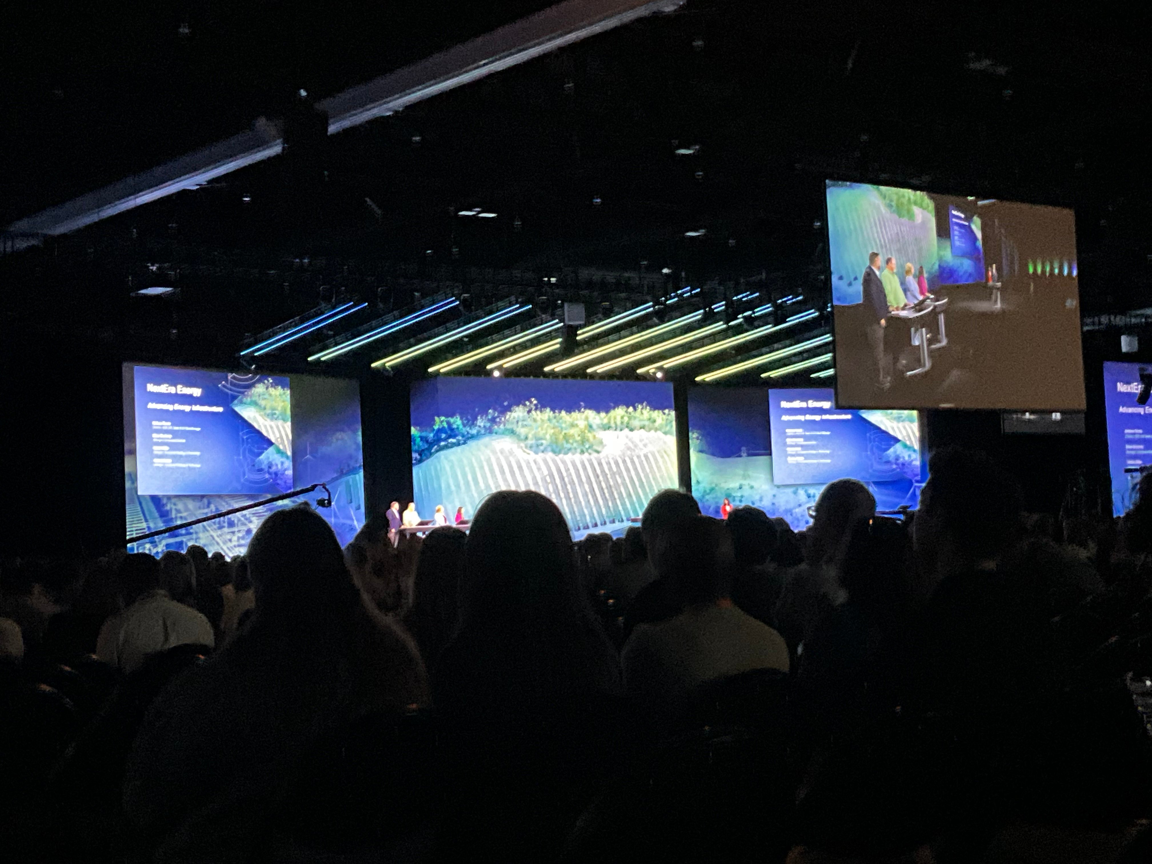
Can anyone tell me how the backgrounds shown during this year’s Plenary Session at the Esri User Conference were generated? They look like LIDAR or other TIN data used to generate almost a “video game” aesthetic. I would love to generate something similar for the City of Spokane’s use.
Thanks!